Transport Functions
Port
Rail
Road
Airport
Hub Profile
Place type
Populated place
Region
Jeollabuk-do
Population
264,656
Time zone
Asia/Seoul
Elevation
14 m
Logistics facilities
3
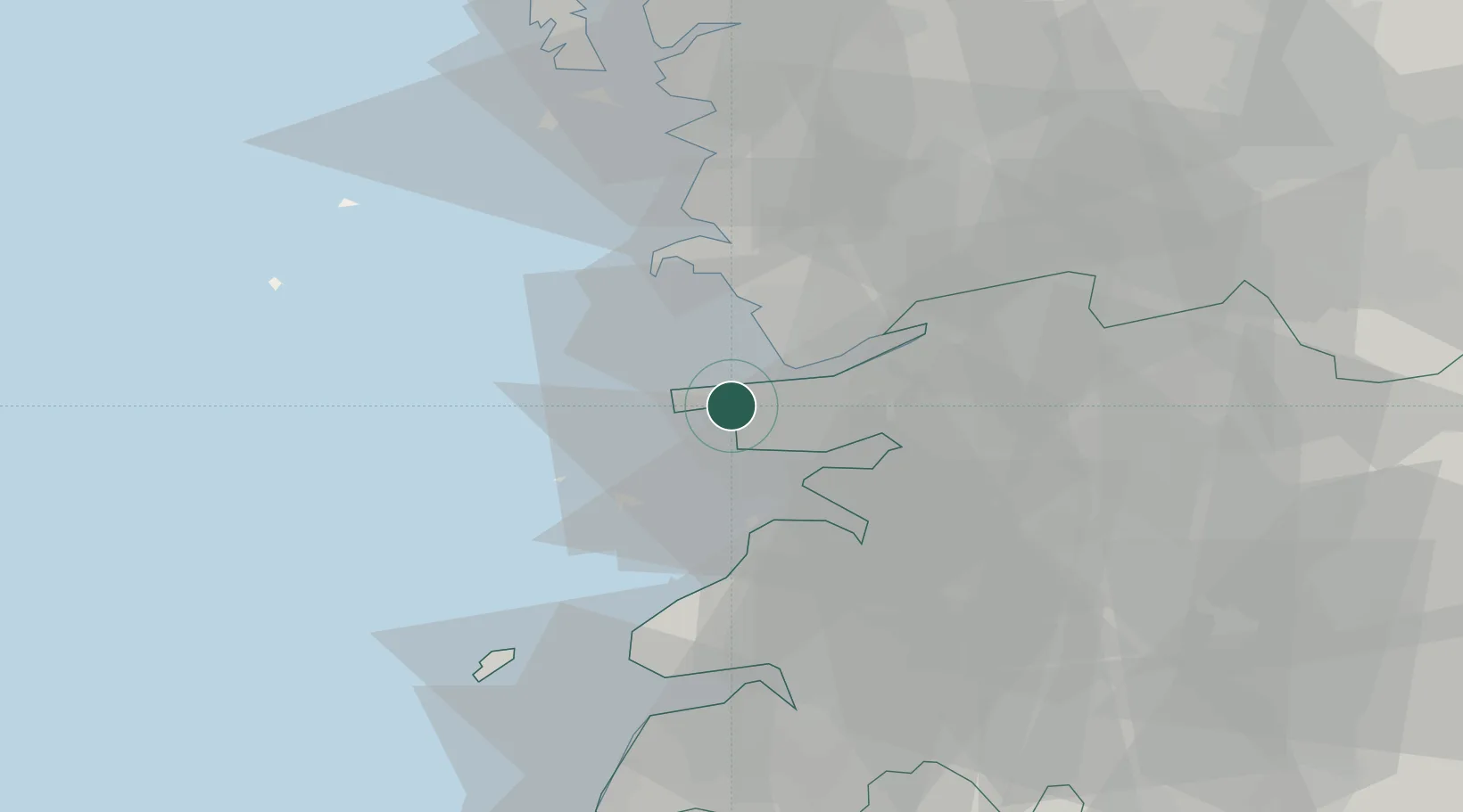
Location
Nearby Logistics Neighbours
Cities
- 1Janghang/Seocheon-gun9 km
- 2Hampyeong-gun18 km
- 3Biin22 km
- 4Gangjin-gun24 km
- 5Buan-gun28 km
Ports
- 1Pyeongtaek Hang118 km
- 2Daesan Hang120 km
- 3Mokpo131 km
- 4Gwangyang Hang156 km
- 5Inchon169 km
Airports
Trade Zones
DatabookThe Record of Consolidated Knowledge
South Korea beyond logistics?