Transport Functions
Port
Hub Profile
Place type
District seat
Region
Chungcheongnam-do
Time zone
Asia/Seoul
Elevation
25 m
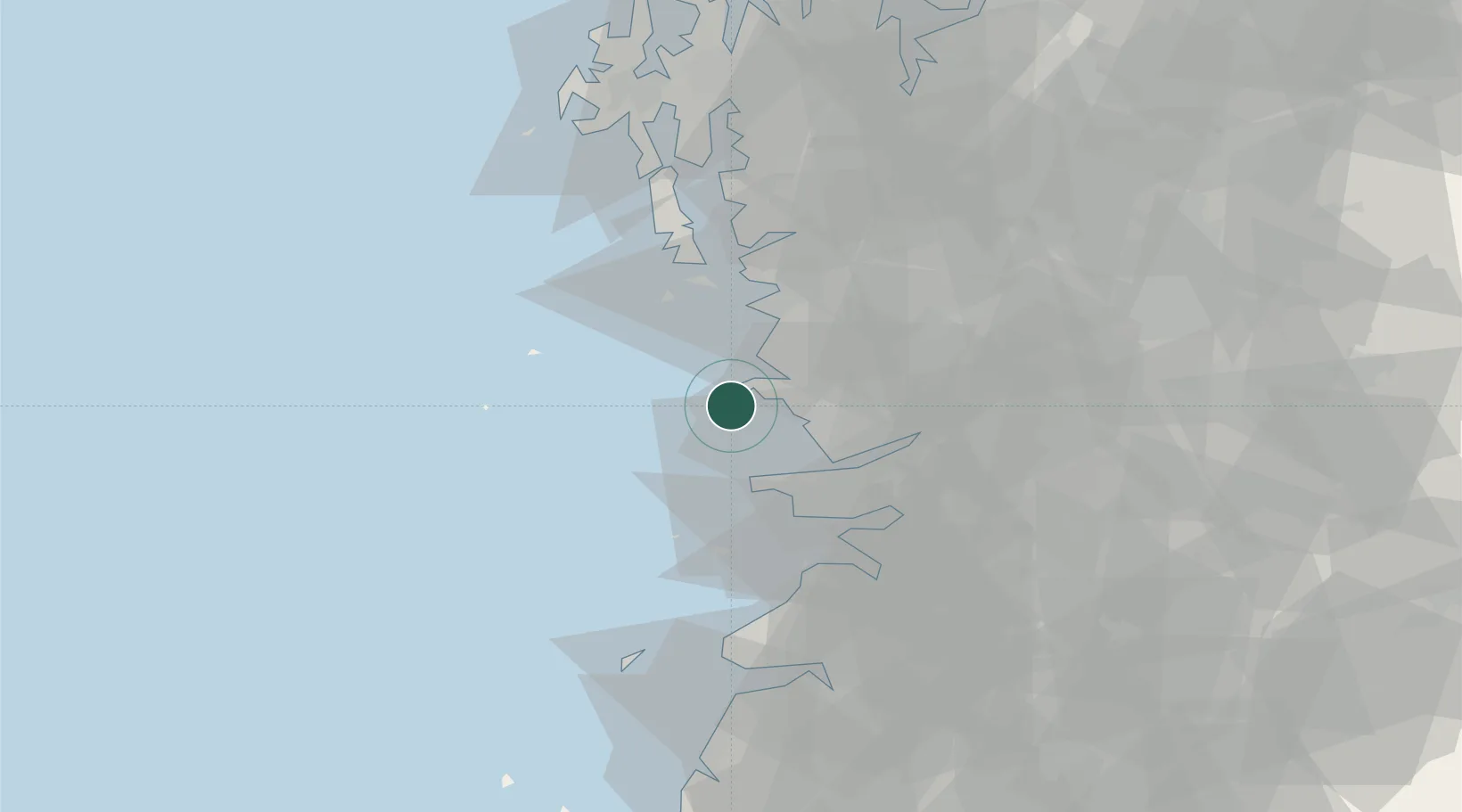
Location
Nearby Logistics Neighbours
Cities
- 1Gunsan22 km
- 2Janghang/Seocheon-gun22 km
- 3Boryeong22 km
- 4Daecheon22 km
- 5Hampyeong-gun35 km
Ports
- 1Kunsan19 km
- 2Daesan Hang100 km
- 3Pyeongtaek Hang102 km
- 4Mokpo149 km
- 5Inchon151 km
Airports
DatabookThe Record of Consolidated Knowledge
South Korea beyond logistics?