Free Trade Zone · South Korea

Gunsan Free Trade Zone Active
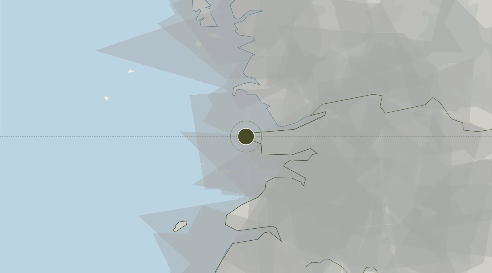
35.9609°, 126.5477°
125 ha
Zone area
6.7 km
Nearest port
8.8 km
Nearest airport

Gateway access

Nearest neighbours — logibook spatial index (haversine) over the source coordinates

Zone profile

Zone type
Free Trade Zone
the World Bank SEZ database
Region
North Jeolla
the World Bank SEZ database
Status
Active
the World Bank SEZ database
Established
2005
the World Bank SEZ database
Management
Public agency
the World Bank SEZ database
Operator
Gunsan Free Trade Zone Administrative Office
the World Bank SEZ database
Regulatory authority
Ministry of Knowledge Economy
the World Bank SEZ database
Legal framework
Act on the Designation and Operation of Free Trade Zones
the World Bank SEZ database

Location

Location of KOR51
Natural Earth 10m (public domain) · North Jeolla · KOR51 · 35.96, 126.55GoogleOSMYandex

Fiscal & incentives

Corporate tax
22%
the World Bank SEZ database
Tax relief
100% exempt
the World Bank SEZ database
Relief duration
3 years
the World Bank SEZ database
VAT
No exemption
the World Bank SEZ database
Import duty (inputs)
100% exempt
the World Bank SEZ database
Import duty (capex)
100% exempt
the World Bank SEZ database
Profit repatriation
No exemption
the World Bank SEZ database
Capital gains
No exemption
the World Bank SEZ database
Withholding tax
No exemption
the World Bank SEZ database
Min. investment
Manufacturing investment of $10 million; logistics investment of $5 million; no minimum requirement for high-tech firms
the World Bank SEZ database
Min. export
50%
the World Bank SEZ database
Employment incentive
Employment and training subsidies
the World Bank SEZ database
Developer incentive
No established framework
the World Bank SEZ database

Nearby Logistics Neighbours

Ports
  1. 1Kunsan7 km
  2. 2Pyeongtaek Hang118 km
  3. 3Daesan Hang118 km
  4. 4Mokpo132 km
  5. 5Gwangyang Hang160 km
Nearest neighbours — logibook spatial index (haversine) over the source coordinates
Airports
  1. 1Gunsan Airport / Gunsan Air Base9 km
  2. 2Gwangju Airport96 km
  3. 3Muan International Airport109 km
  4. 4Camp Humphreys (A-511) Desiderio Army Airfield120 km
  5. 5Cheongju International Airport/Cheongju Air Base (K-59/G-513)120 km
Nearest neighbours — logibook spatial index (haversine) over the source coordinates
Cities
  1. 1Gunsan5 km
  2. 2Janghang/Seocheon-gun13 km
  3. 3Hampyeong-gun18 km
  4. 4Biin18 km
  5. 5Gangjin-gun28 km
Nearest neighbours — logibook spatial index (haversine) over the source coordinates
Trade Zones
  1. 1Gunsan General Industrial Complex5 km
  2. 2Gunsan 1 & 2 National Industrial Complex9 km
  3. 3Saemangeum Special Zone17 km
  4. 4Gimje Free Trade Zone32 km
  5. 5Iksan Foreign Investment Zone36 km
Nearest neighbours — logibook spatial index (haversine) over the source coordinates
DatabookThe Record of Consolidated Knowledge
South Korea beyond logistics?
Browse databook

All Sources

Trade Zonesthe World Bank SEZ database
CC BY 4.0
Portsthe NGA World Port Index
Public domain (US gov)
AirportsOurAirports
Public domain
LocationsUN/LOCODE
UN/LOCODE — free
← South Korea trade zones