UN/LOCODE hub · South Korea
KRCHG

Janghang/Seocheon-gun

36.0000°, 126.6833°
1
Transport functions

Transport Functions

Port
UN/LOCODE

Hub Profile

Region
44
GeoNames

Location

Location of KRCHG
Natural Earth 10m (public domain) · 44 · KRCHG · 36.00, 126.68GoogleOSMYandex

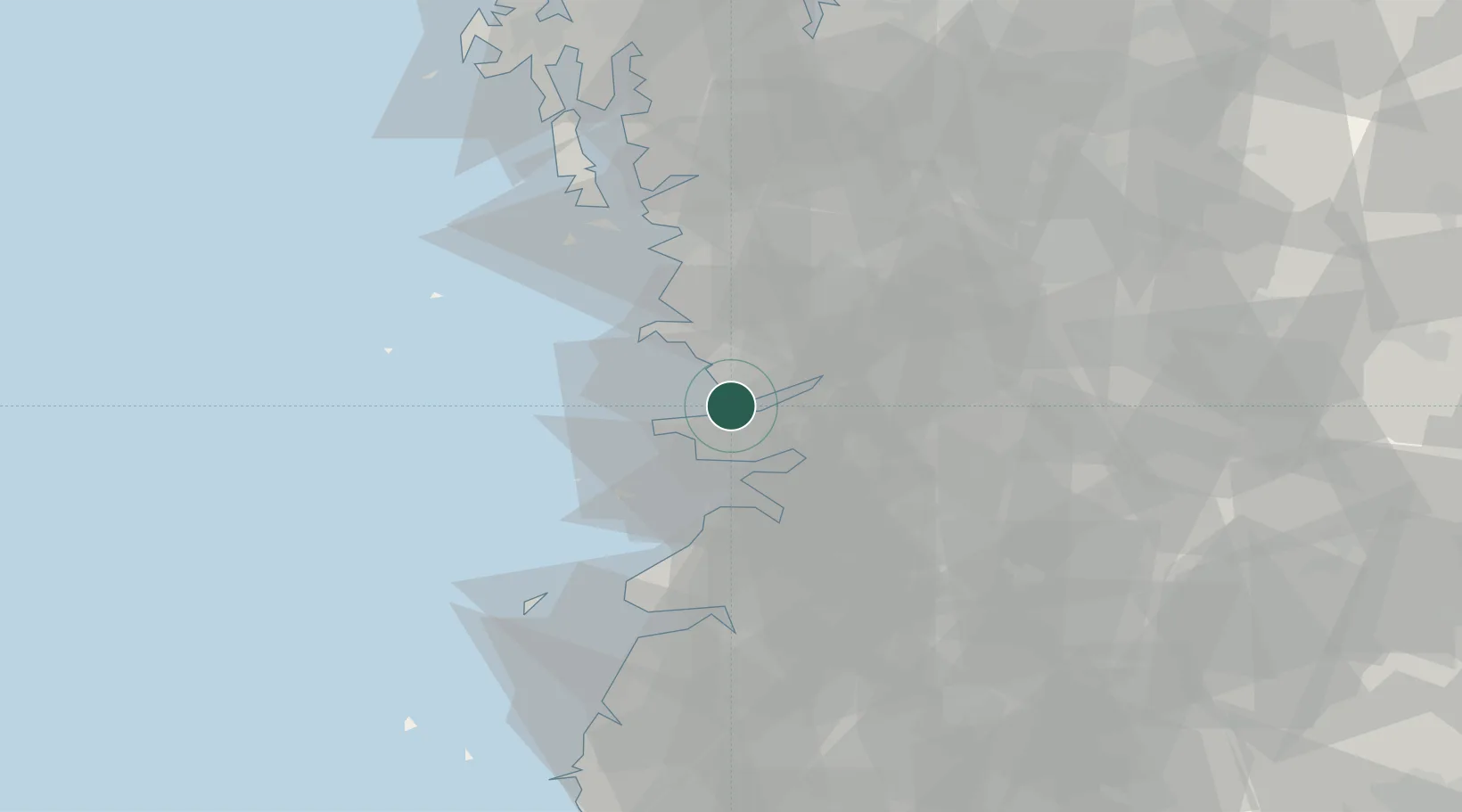
Nearby Logistics Neighbours

Cities
  1. 1Gunsan9 km
  2. 2Biin22 km
  3. 3Gangjin-gun25 km
  4. 4Hampyeong-gun27 km
  5. 5Gimje28 km
Nearest neighbours — logibook spatial index (haversine) over the source coordinates
Ports
  1. 1Kunsan6 km
  2. 2Pyeongtaek Hang112 km
  3. 3Daesan Hang116 km
  4. 4Mokpo138 km
  5. 5Gwangyang Hang155 km
Nearest neighbours — logibook spatial index (haversine) over the source coordinates
Airports
  1. 1Gunsan Airport / Gunsan Air Base12 km
  2. 2Gwangju Airport98 km
  3. 3Cheongju International Airport/Cheongju Air Base (K-59/G-513)108 km
  4. 4Camp Humphreys (A-511) Desiderio Army Airfield111 km
  5. 5Muan International Airport115 km
Nearest neighbours — logibook spatial index (haversine) over the source coordinates
Trade Zones
  1. 1Gunsan 1 & 2 National Industrial Complex4 km
  2. 2Gunsan General Industrial Complex9 km
  3. 3Gunsan Free Trade Zone13 km
  4. 4Iksan Foreign Investment Zone24 km
  5. 5Gimje Free Trade Zone24 km
Nearest neighbours — logibook spatial index (haversine) over the source coordinates
DatabookThe Record of Consolidated Knowledge
South Korea beyond logistics?
Browse databook

All Sources

LocationsUN/LOCODE
UN/LOCODE — free
Portsthe NGA World Port Index
Public domain (US gov)
AirportsOurAirports
Public domain
Trade Zonesthe World Bank SEZ database
CC BY 4.0
Trade ZonesOpen Zone Map
CC BY
← South Korea locations