Transport Functions
Multimodal
Hub Profile
Place type
Locality
Region
Kanagawa
Time zone
Asia/Tokyo
Elevation
29 m
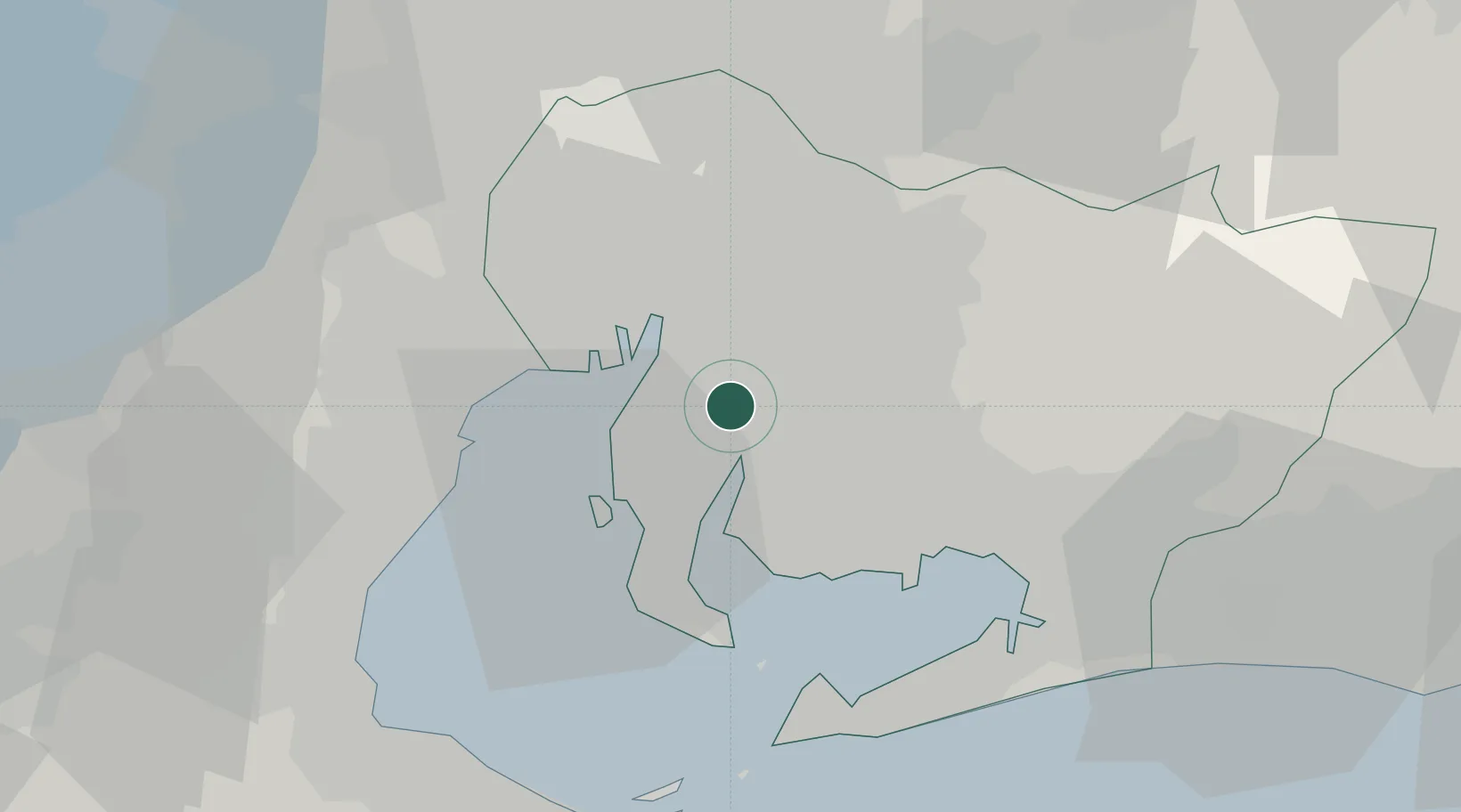
Location
Nearby Logistics Neighbours
Cities
- 1Kariya, Aichi2 km
- 2Obu4 km
- 3Chiryu8 km
- 4Agui Aichi8 km
- 5Nagoya, Aichi15 km
Ports
- 1Nagoya Ko13 km
- 2Kinuura Ko15 km
- 3Gamagori Ko29 km
- 4Yokkaichi30 km
- 5Atsumi36 km
Airports
DatabookThe Record of Consolidated Knowledge
Japan beyond logistics?