UN/LOCODE hub · Japan
JPIKF

Kariya, Aichi

34.9833°, 136.9833°
1
Transport functions

Transport Functions

Multimodal
UN/LOCODE

Hub Profile

Region
23
GeoNames

Location

Location of JPIKF
Natural Earth 10m (public domain) · 23 · JPIKF · 34.98, 136.98GoogleOSMYandex

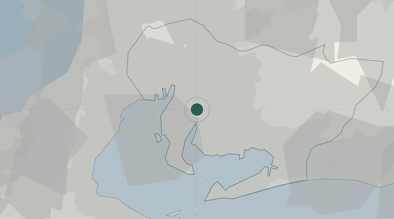
Nearby Logistics Neighbours

Cities
  1. 1Higashiura2 km
  2. 2Obu4 km
  3. 3Chiryu6 km
  4. 4Agui Aichi9 km
  5. 5Nisshin16 km
Nearest neighbours — logibook spatial index (haversine) over the source coordinates
Ports
  1. 1Nagoya Ko14 km
  2. 2Kinuura Ko15 km
  3. 3Gamagori Ko28 km
  4. 4Yokkaichi32 km
  5. 5Atsumi36 km
Nearest neighbours — logibook spatial index (haversine) over the source coordinates
Airports
  1. 1Chubu Centrair International Airport21 km
  2. 2Nagoya Airport / JASDF Komaki Air Base31 km
  3. 3Gifu Airport47 km
  4. 4JASDF Hamamatsu Air Base71 km
  5. 5Mount Fuji Shizuoka Airport112 km
Nearest neighbours — logibook spatial index (haversine) over the source coordinates
DatabookThe Record of Consolidated Knowledge
Japan beyond logistics?
Browse databook

All Sources

LocationsUN/LOCODE
UN/LOCODE — free
Portsthe NGA World Port Index
Public domain (US gov)
AirportsOurAirports
Public domain
Trade Zonesthe World Bank SEZ database
CC BY 4.0
Trade ZonesOpen Zone Map
CC BY
← Japan locations