Transport Functions
Multimodal
Hub Profile
Place type
Provincial seat
Region
Mie
Population
88,895
Time zone
Asia/Tokyo
Elevation
152 m
Location
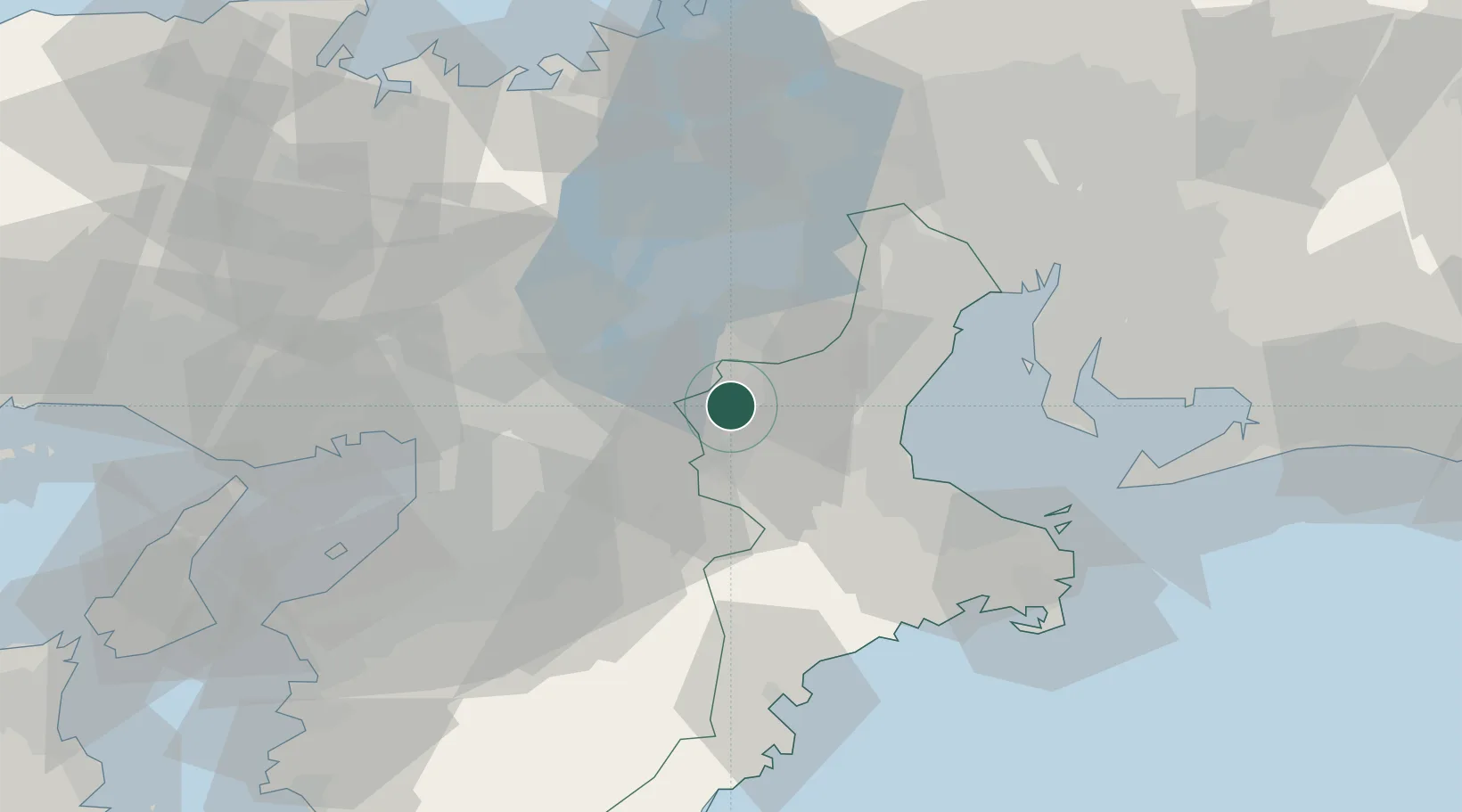
Nearby Logistics Neighbours
Cities
- 1Minamiyamashiro12 km
- 2Nabari15 km
- 3Ujitawara28 km
- 4Kizugawa29 km
- 5Ritto30 km
Ports
- 1Matsusaka44 km
- 2Yokkaichi51 km
- 3Osaka65 km
- 4Sakai-Senboku68 km
- 5Amagasaki69 km
Airports
- 1Yao Airport52 km
- 2Chubu Centrair International Airport62 km
- 3Osaka Itami International Airport63 km
- 4Kobe Airport85 km
- 5Kansai International Airport90 km
Trade Zones
- 1Mie Life Innovation Comprehensive Special Zone2 km
- 2Nara Park Tourist Area Revitalization Comprehensive Special Zone28 km
- 3Lake Biwa Southern Area New Industry Creation Special Zone30 km
- 4Kyoto City Regional Revitalization Comprehensive Special Zone45 km
- 5Kansai Innovation International Strategic Comprehensive Special Zone60 km
DatabookThe Record of Consolidated Knowledge
Japan beyond logistics?