UN/LOCODE hub · Japan
JPTOW

Tokokawa

34.8167°, 137.4000°
1
Transport functions

Transport Functions

Multimodal
UN/LOCODE

Hub Profile

Region
23
GeoNames

Location

Location of JPTOW
Natural Earth 10m (public domain) · 23 · JPTOW · 34.82, 137.40GoogleOSMYandex

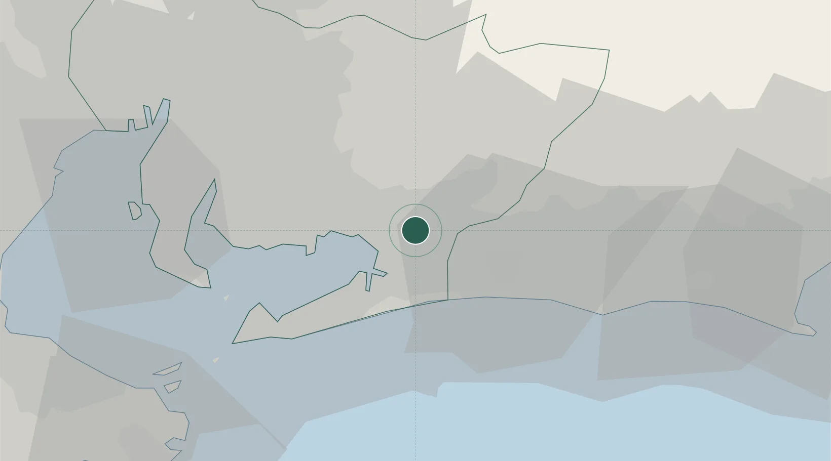
Nearby Logistics Neighbours

Cities
  1. 1Toyohashi13 km
  2. 2Shinshiro13 km
  3. 3Okazaki26 km
  4. 4Toyota37 km
  5. 5Chiryu38 km
Nearest neighbours — logibook spatial index (haversine) over the source coordinates
Ports
  1. 1Mikawa14 km
  2. 2Gamagori Ko17 km
  3. 3Atsumi35 km
  4. 4Kinuura Ko41 km
  5. 5Nagoya Ko56 km
Nearest neighbours — logibook spatial index (haversine) over the source coordinates
Airports
  1. 1JASDF Hamamatsu Air Base29 km
  2. 2Chubu Centrair International Airport55 km
  3. 3Nagoya Airport / JASDF Komaki Air Base65 km
  4. 4Mount Fuji Shizuoka Airport72 km
  5. 5Gifu Airport80 km
Nearest neighbours — logibook spatial index (haversine) over the source coordinates
DatabookThe Record of Consolidated Knowledge
Japan beyond logistics?
Browse databook

All Sources

LocationsUN/LOCODE
UN/LOCODE — free
Portsthe NGA World Port Index
Public domain (US gov)
AirportsOurAirports
Public domain
Trade Zonesthe World Bank SEZ database
CC BY 4.0
Trade ZonesOpen Zone Map
CC BY
← Japan locations