Transport Functions
Multimodal
Hub Profile
Place type
Provincial seat
Region
Aichi
Population
44,355
Time zone
Asia/Tokyo
Elevation
48 m
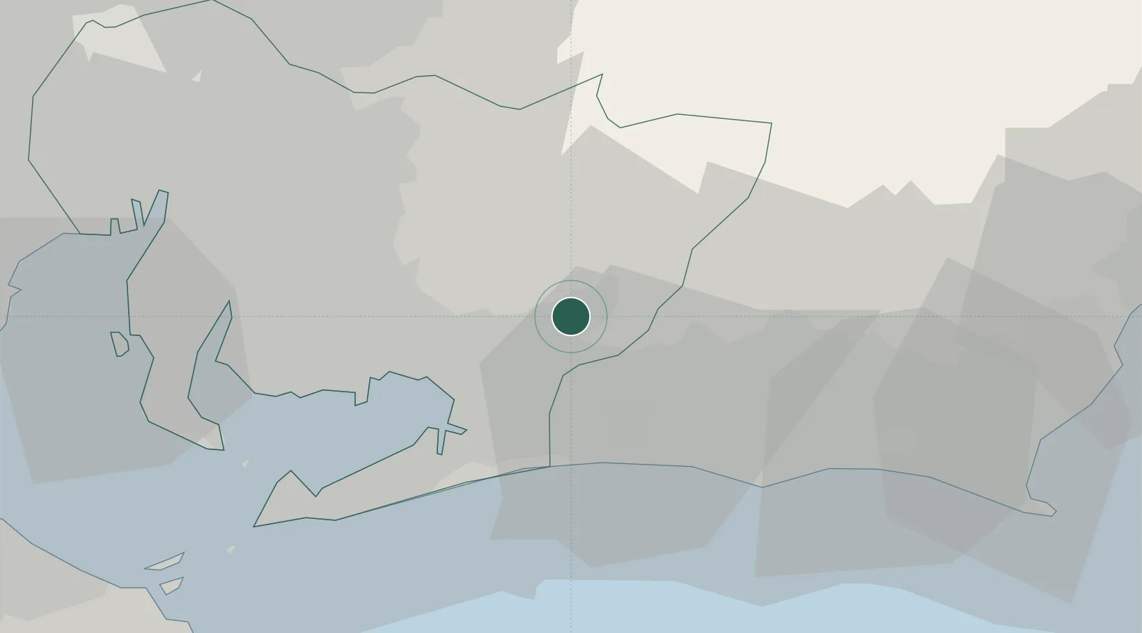
Location
Nearby Logistics Neighbours
Ports
- 1Mikawa27 km
- 2Gamagori Ko28 km
- 3Atsumi47 km
- 4Kinuura Ko51 km
- 5Nagoya Ko61 km
Airports
Trade Zones
- 1Hamamatsu Future Creation Special Zone25 km
- 2Toyota Next Generation Energy and Mobility Creation Special Zone40 km
- 3Aichi Prefecture Strategic Special Zone49 km
- 4Asias No. 1 Aerospace Industry Cluster Formation Special Zone58 km
- 5Fuji-no-kuni Disaster Mitigation Regional Growth Model Comprehensive Special Zone81 km
DatabookThe Record of Consolidated Knowledge
Japan beyond logistics?