Transport Functions
Rail
Road
Hub Profile
Place type
Provincial seat
Region
Aichi
Population
384,654
Time zone
Asia/Tokyo
Elevation
34 m
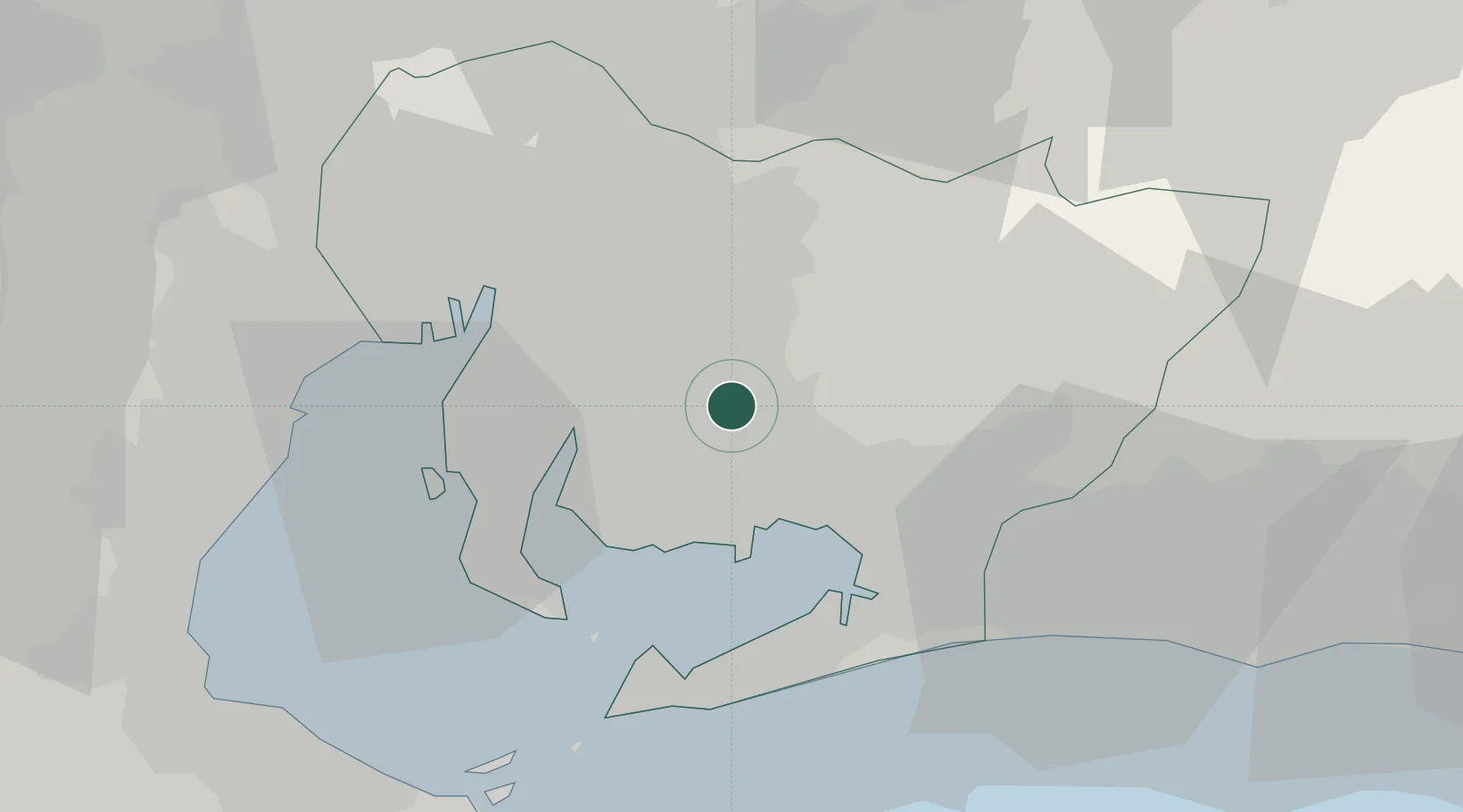
Location
Nearby Logistics Neighbours
Cities
- 1Chiryu12 km
- 2Toyota15 km
- 3Kariya, Aichi17 km
- 4Higashiura19 km
- 5Obu20 km
Ports
- 1Gamagori Ko16 km
- 2Kinuura Ko23 km
- 3Mikawa29 km
- 4Nagoya Ko30 km
- 5Atsumi33 km
Airports
DatabookThe Record of Consolidated Knowledge
Japan beyond logistics?