Transport Functions
Road
Multimodal
Hub Profile
Place type
District seat
Region
The Marches
Population
7,212
Time zone
Europe/Rome
Elevation
127 m
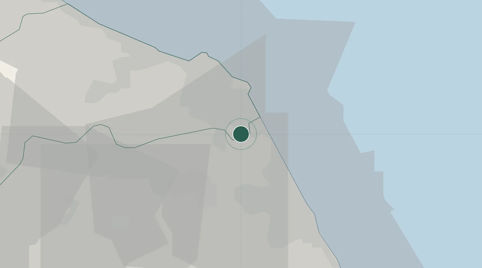
Location
Nearby Logistics Neighbours
Cities
- 1Porto Recanati5 km
- 2Numana9 km
- 3Civitanova Marche18 km
- 4Filottrano20 km
- 5Montegranaro22 km
Ports
- 1Civitanova Marche17 km
- 2Ancona23 km
- 3Senigallia45 km
- 4San Benedetto Del Tronto58 km
- 5Fano67 km
Airports
Trade Zones
- 1Abruzzo Special Economic Zone129 km
- 2Port of Pula Free Zone160 km
- 3Ionian Special Economic Zone194 km
- 4Port of Rijeka Free Zone203 km
- 5Free Zone Kukuljanovo224 km
DatabookThe Record of Consolidated Knowledge
Italy beyond logistics?