UN/LOCODE hub · Italy
ITAOI
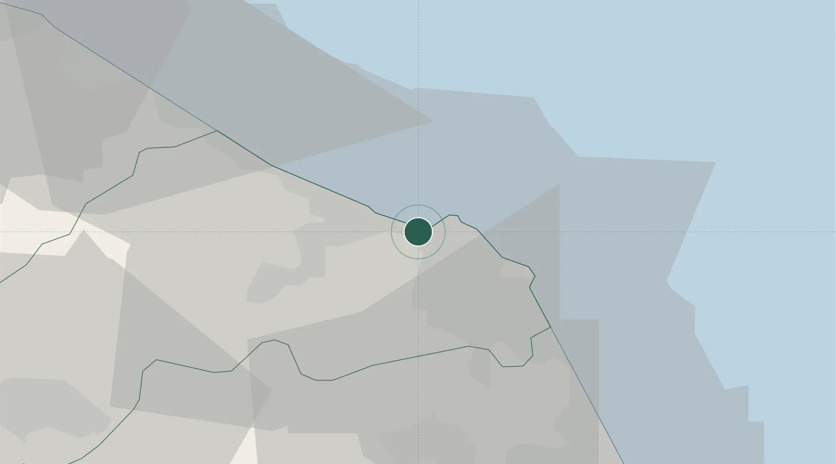
Ancona
43.6092°, 13.4603°
89,994
Population
3
Transport functions
2
Container terminals
Transport Functions
Port
Road
Airport
Hub Profile
Place type
Regional capital
Region
The Marches
Population
89,994
Time zone
Europe/Rome
Elevation
16 m
Logistics facilities
5
Container terminals
2
Location
Nearby Logistics Neighbours
Cities
- 1Castelferretti9 km
- 2Numana16 km
- 3Filottrano22 km
- 4Loreto23 km
- 5Senigallia23 km
Ports
- 1Senigallia23 km
- 2Civitanova Marche39 km
- 3Fano45 km
- 4Pesaro57 km
- 5San Benedetto Del Tronto80 km
Airports
Trade Zones
- 1Port of Pula Free Zone143 km
- 2Abruzzo Special Economic Zone147 km
- 3Port of Rijeka Free Zone187 km
- 4Free Zone Kukuljanovo209 km
- 5Ionian Special Economic Zone215 km
DatabookThe Record of Consolidated Knowledge
Italy beyond logistics?