Transport Functions
Multimodal
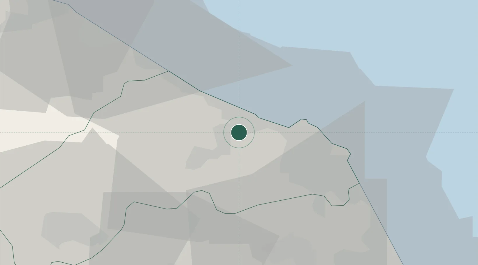
Hub Profile
Place type
Urban district
Region
The Marches
Time zone
Europe/Rome
Elevation
15 m
Location
Nearby Logistics Neighbours
Cities
- 1Ancona9 km
- 2Ostra16 km
- 3Senigallia17 km
- 4Filottrano19 km
- 5Moie22 km
Ports
- 1Ancona12 km
- 2Senigallia17 km
- 3Fano39 km
- 4Civitanova Marche44 km
- 5Pesaro51 km
Airports
Trade Zones
- 1Port of Pula Free Zone146 km
- 2Abruzzo Special Economic Zone146 km
- 3Port of Rijeka Free Zone191 km
- 4Free Zone Kukuljanovo214 km
- 5Ionian Special Economic Zone216 km
DatabookThe Record of Consolidated Knowledge
Italy beyond logistics?