Transport Functions
Multimodal
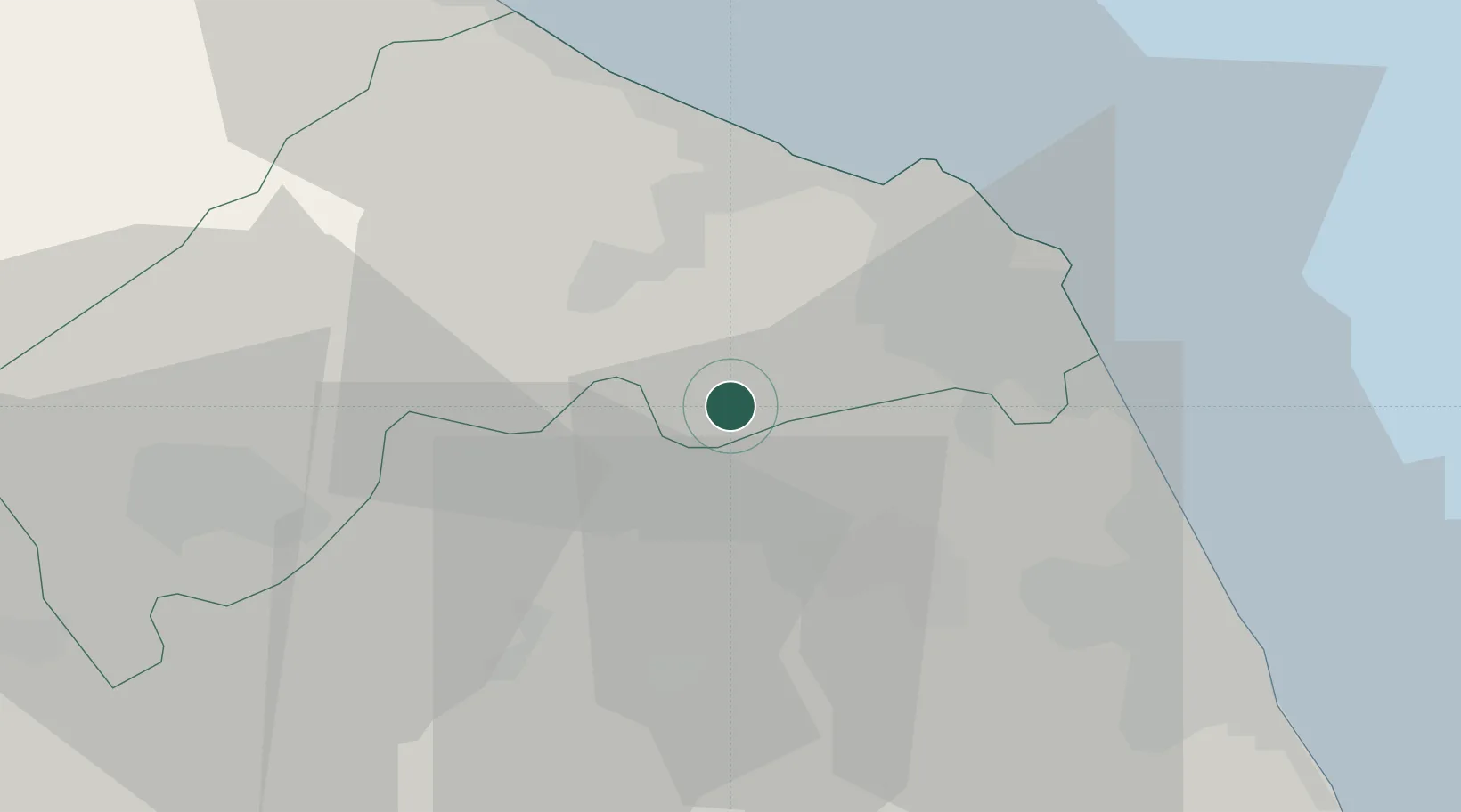
Hub Profile
Place type
District seat
Region
The Marches
Population
5,637
Time zone
Europe/Rome
Elevation
270 m
Location
Nearby Logistics Neighbours
Cities
- 1Pollenza19 km
- 2Castelferretti19 km
- 3Loreto20 km
- 4Moie20 km
- 5Maiolati Spontini21 km
Ports
- 1Ancona25 km
- 2Civitanova Marche34 km
- 3Senigallia34 km
- 4Fano54 km
- 5Pesaro66 km
Airports
Trade Zones
- 1Abruzzo Special Economic Zone127 km
- 2Port of Pula Free Zone164 km
- 3Ionian Special Economic Zone198 km
- 4Port of Rijeka Free Zone209 km
- 5Free Zone Kukuljanovo231 km
DatabookThe Record of Consolidated Knowledge
Italy beyond logistics?