Transport Functions
Port
Rail
Road
Hub Profile
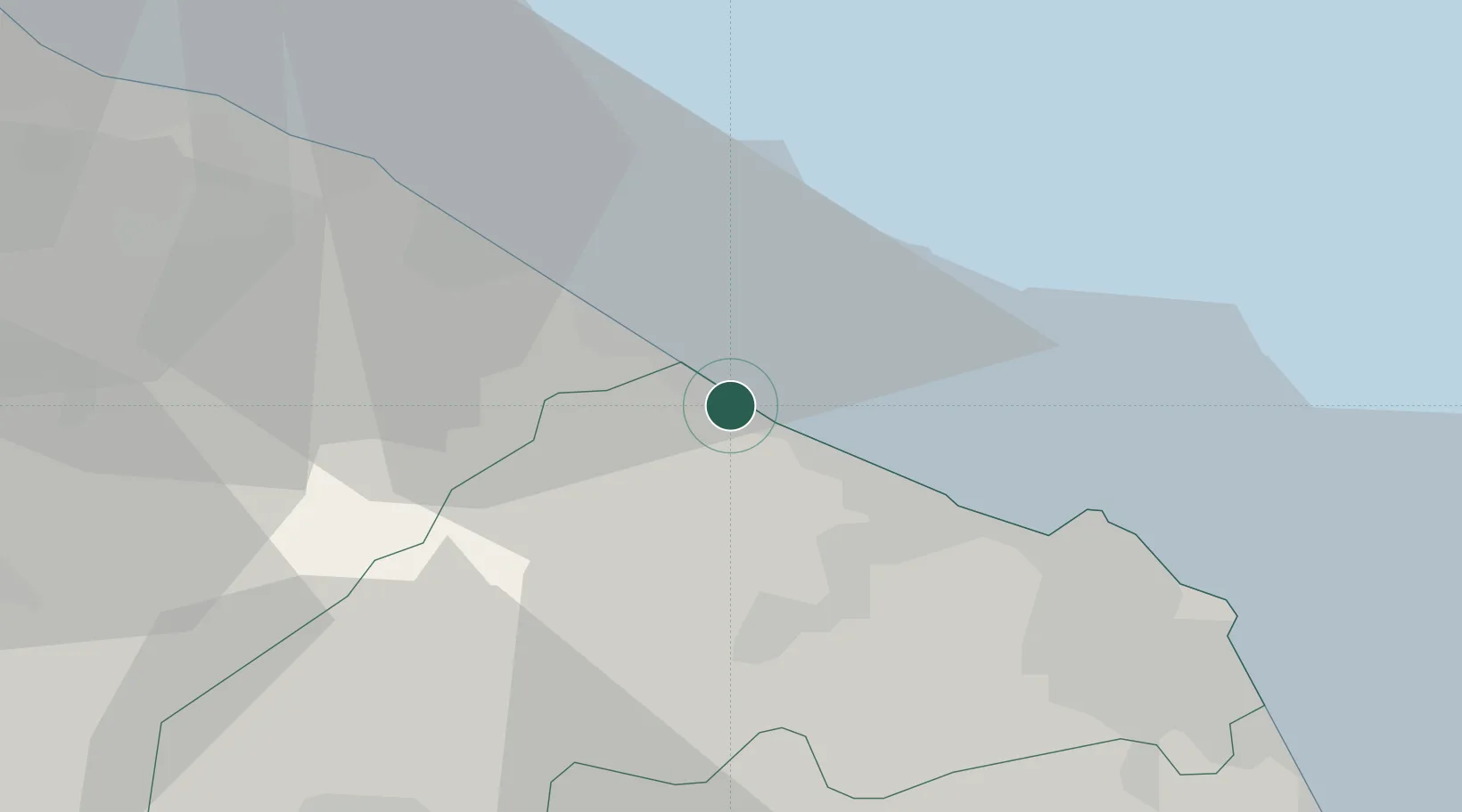
Place type
District seat
Region
The Marches
Population
30,882
Time zone
Europe/Rome
Elevation
5 m
Location
Nearby Logistics Neighbours
Cities
- 1Marotta9 km
- 2Ostra12 km
- 3Corinaldo15 km
- 4Castelferretti17 km
- 5Fano21 km
Ports
- 1Fano22 km
- 2Ancona24 km
- 3Pesaro34 km
- 4Civitanova Marche61 km
- 5Rimini66 km
Airports
Trade Zones
- 1Port of Pula Free Zone137 km
- 2Abruzzo Special Economic Zone159 km
- 3Port of Rijeka Free Zone184 km
- 4Free Port of Venice204 km
- 5Free Zone Kukuljanovo207 km
DatabookThe Record of Consolidated Knowledge
Italy beyond logistics?