Transport Functions
Port
Road
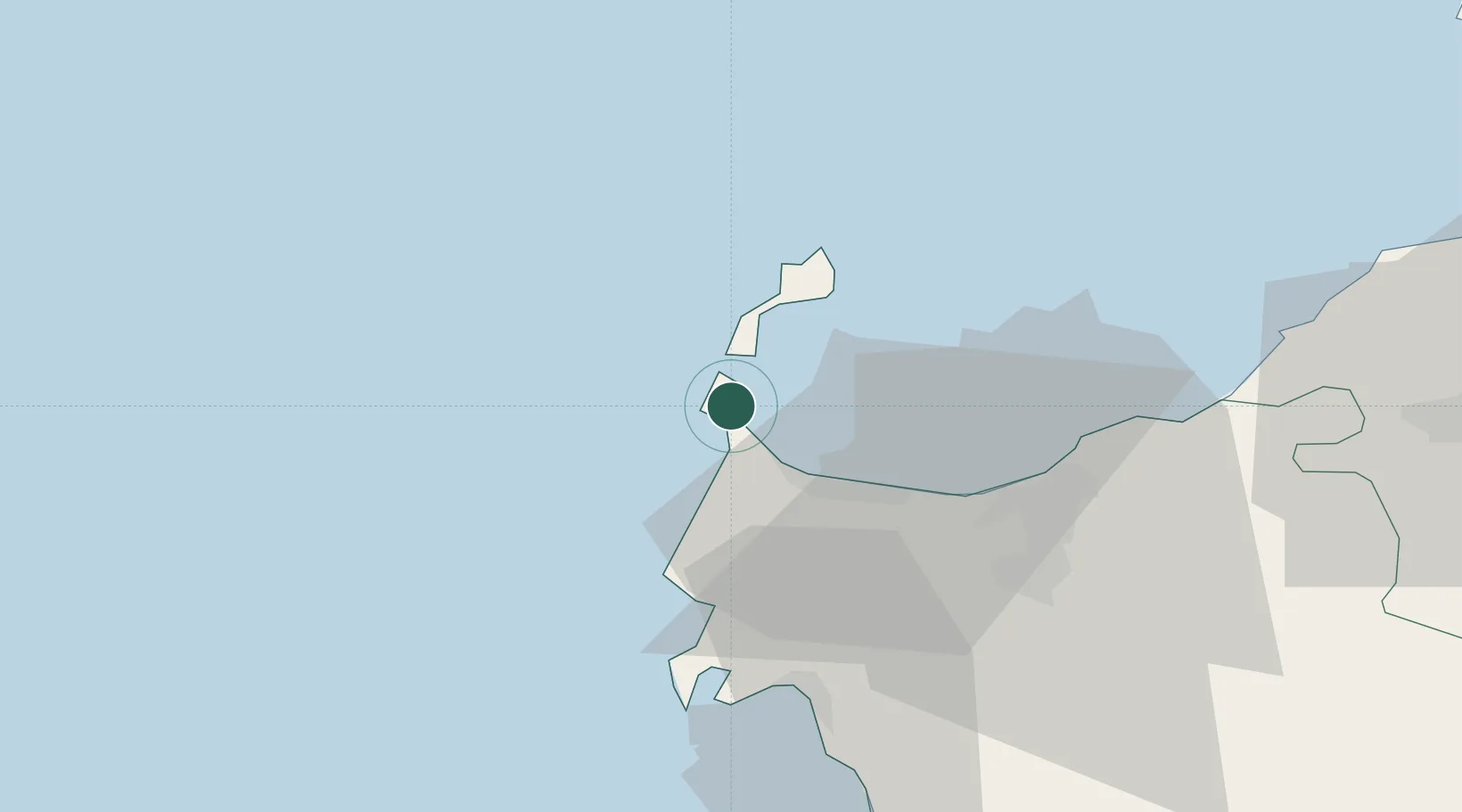
Hub Profile
Place type
District seat
Region
Sardinia
Population
1,159
Time zone
Europe/Rome
Elevation
9 m
Location
Nearby Logistics Neighbours
Cities
- 1Isola Asinara14 km
- 2Sassari37 km
- 3Porto Conte Torre Nuova37 km
- 4Castelsardo42 km
- 5Alghero43 km
Ports
- 1Porto Torres18 km
- 2Alghero41 km
- 3Bonifacio94 km
- 4Port De Propriano101 km
- 5Maddalena104 km
Airports
Trade Zones
- 1Sardinia Special Economic Zone Area76 km
- 2Free Zone of Portovesme195 km
- 3ZFU Toulon308 km
- 4ZFU La Seyne-sur-Mer309 km
- 5ZFU LAriane322 km
DatabookThe Record of Consolidated Knowledge
Italy beyond logistics?