UN/LOCODE hub · United Arab Emirates
AEMRP

Mina Rashid Port

25.2667°, 55.2833°
1
Transport functions

Transport Functions

Port
UN/LOCODE

Hub Profile

Region
AZ
GeoNames

Location

Location of AEMRP
Natural Earth 10m (public domain) · AZ · AEMRP · 25.27, 55.28GoogleOSMYandex

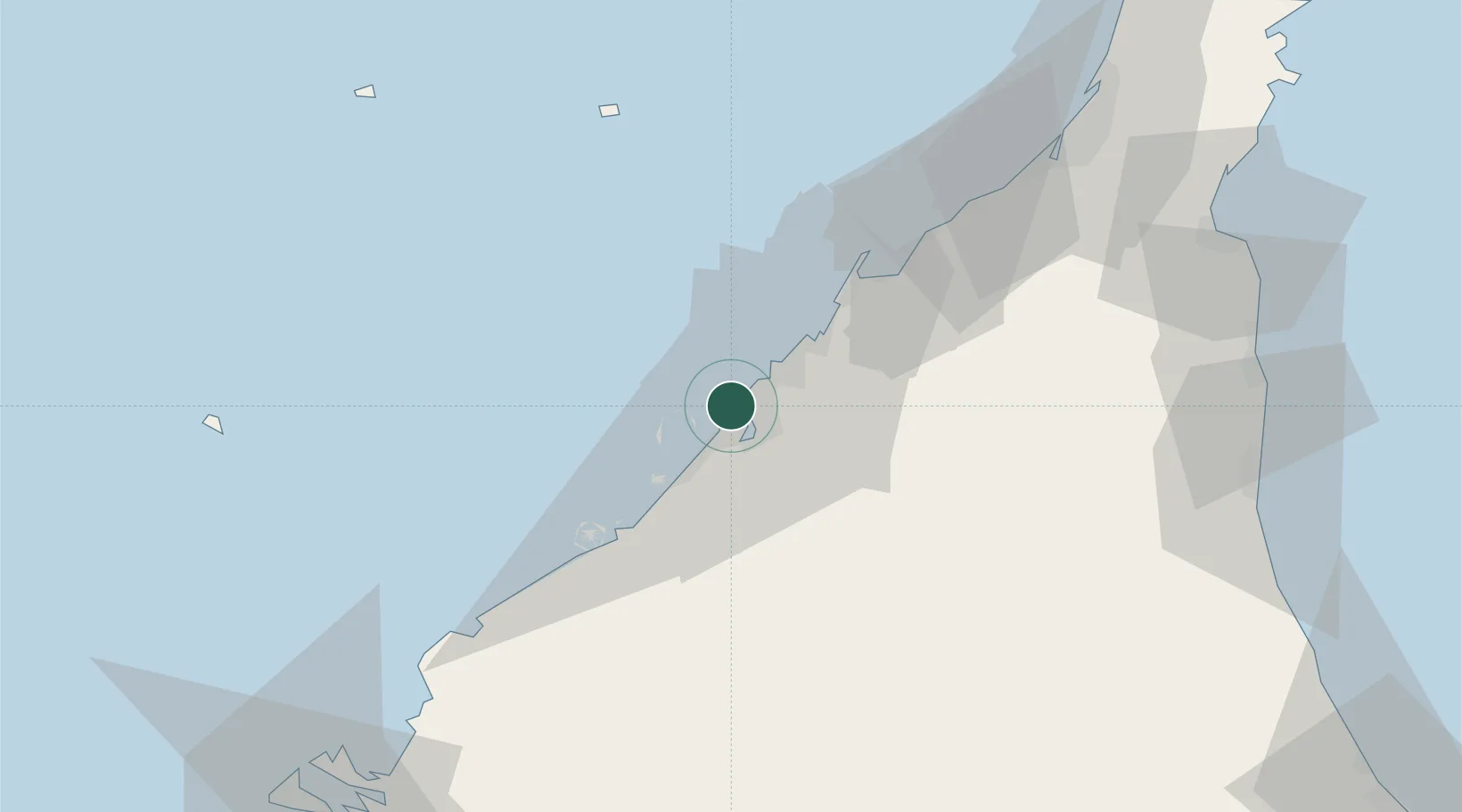
Nearby Logistics Neighbours

Cities
  1. 1Free Port4 km
  2. 2Hamriya Free Zone Port5 km
  3. 3Mina Khalid13 km
  4. 4Sharjah14 km
  5. 5Saif Zone21 km
Nearest neighbours — logibook spatial index (haversine) over the source coordinates
Ports
  1. 1Dubayy2 km
  2. 2Ash Shariqah15 km
  3. 3Ajman23 km
  4. 4Al Hamriyah Lpg Terminal30 km
  5. 5Mina Jabal Ali36 km
Nearest neighbours — logibook spatial index (haversine) over the source coordinates
Airports
  1. 1Dubai International Airport9 km
  2. 2Sharjah International Airport25 km
  3. 3Al Minhad Air Base28 km
  4. 4Al Maktoum International Airport43 km
  5. 5Abu Musa Island Airport72 km
Nearest neighbours — logibook spatial index (haversine) over the source coordinates
Trade Zones
  1. 1Dubai Maritime City2 km
  2. 2Dubai World Trade Centre Free Zone5 km
  3. 3Dubai Healthcare City5 km
  4. 4Dubai Flower Centre (DFC)6 km
  5. 5Dubai International Financial Centre6 km
Nearest neighbours — logibook spatial index (haversine) over the source coordinates
DatabookThe Record of Consolidated Knowledge
United Arab Emirates beyond logistics?
Browse databook

All Sources

LocationsUN/LOCODE
UN/LOCODE — free
Portsthe NGA World Port Index
Public domain (US gov)
AirportsOurAirports
Public domain
Trade Zonesthe World Bank SEZ database
CC BY 4.0
Trade ZonesOpen Zone Map
CC BY
← United Arab Emirates locations