UN/LOCODE hub · United Arab Emirates
AEMKH

Mina Khalid

25.3500°, 55.3667°
2
Transport functions

Transport Functions

Port
Road
UN/LOCODE

Hub Profile

Region
SH
GeoNames

Location

Location of AEMKH
Natural Earth 10m (public domain) · SH · AEMKH · 25.35, 55.37GoogleOSMYandex

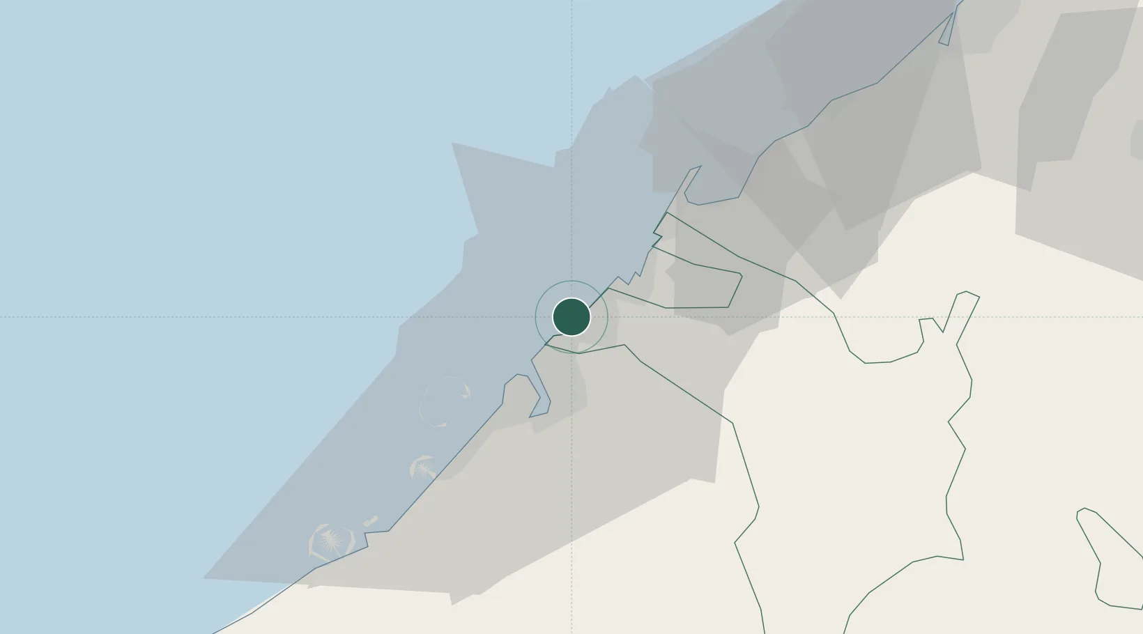
Nearby Logistics Neighbours

Cities
  1. 1Sharjah5 km
  2. 2Hamriya Free Zone Port8 km
  3. 3Ajman12 km
  4. 4Saif Zone12 km
  5. 5Mina Rashid Port13 km
Nearest neighbours — logibook spatial index (haversine) over the source coordinates
Ports
  1. 1Ash Shariqah3 km
  2. 2Ajman10 km
  3. 3Dubayy11 km
  4. 4Al Hamriyah Lpg Terminal18 km
  5. 5Umm Al Qaywayn34 km
Nearest neighbours — logibook spatial index (haversine) over the source coordinates
Airports
  1. 1Dubai International Airport11 km
  2. 2Sharjah International Airport15 km
  3. 3Al Minhad Air Base36 km
  4. 4Al Maktoum International Airport55 km
  5. 5Ras Al Khaimah International Airport65 km
Nearest neighbours — logibook spatial index (haversine) over the source coordinates
Trade Zones
  1. 1Sharjah Publishing City Free Zone10 km
  2. 2Dubai Airport Free Zone10 km
  3. 3Dubai Flower Centre (DFC)10 km
  4. 4Ajman Free Zone12 km
  5. 5Dubai Healthcare City14 km
Nearest neighbours — logibook spatial index (haversine) over the source coordinates
DatabookThe Record of Consolidated Knowledge
United Arab Emirates beyond logistics?
Browse databook

All Sources

LocationsUN/LOCODE
UN/LOCODE — free
Portsthe NGA World Port Index
Public domain (US gov)
AirportsOurAirports
Public domain
Trade Zonesthe World Bank SEZ database
CC BY 4.0
Trade ZonesOpen Zone Map
CC BY
← United Arab Emirates locations