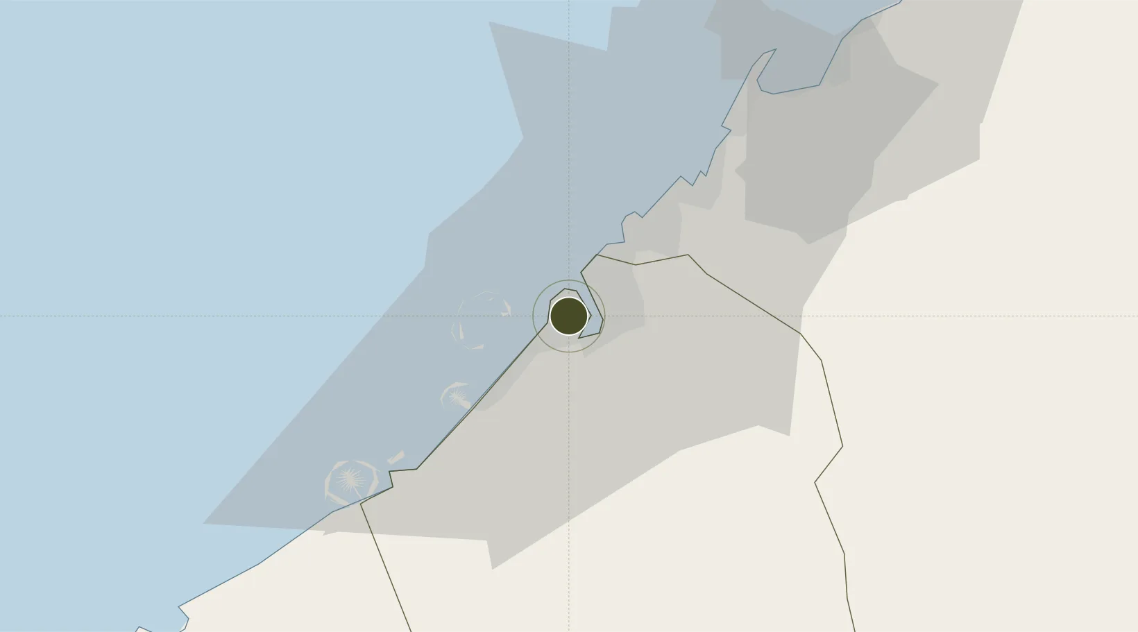
Diversified Zone · United Arab Emirates

Dubai World Trade Centre Free Zone Active

25.2238°, 55.2879°
60 ha
Zone area
4.9 km
Nearest port
8.8 km
Nearest airport

Gateway access

Nearest neighbours — logibook spatial index (haversine) over the source coordinates

Zone profile

Zone type
Diversified Zone
Open Zone Map
Region
Dubay
Open Zone Map
Status
Active
Open Zone Map
Management
Public
Open Zone Map
Operator
Dubai World Trade Centre Authority
Open Zone Map
Legal framework
Federal Law No. 8 of 2004 Concerning Financial Free Zones
Open Zone Map

Location

Location of ozm-4622
Natural Earth 10m (public domain) · Dubay · ozm-4622 · 25.22, 55.29GoogleOSMYandex

Nearby Logistics Neighbours

Ports
  1. 1Dubayy5 km
  2. 2Ash Shariqah19 km
  3. 3Ajman26 km
  4. 4Mina Jabal Ali33 km
  5. 5Al Hamriyah Lpg Terminal33 km
Nearest neighbours — logibook spatial index (haversine) over the source coordinates
Airports
  1. 1Dubai International Airport9 km
  2. 2Al Minhad Air Base23 km
  3. 3Sharjah International Airport26 km
  4. 4Al Maktoum International Airport39 km
  5. 5Abu Musa Island Airport77 km
Nearest neighbours — logibook spatial index (haversine) over the source coordinates
Cities
  1. 1Mina Rashid Port5 km
  2. 2Free Port5 km
  3. 3Hamriya Free Zone Port9 km
  4. 4Mina Khalid16 km
  5. 5Sharjah17 km
Nearest neighbours — logibook spatial index (haversine) over the source coordinates
Trade Zones
  1. 1Dubai International Financial Centre2 km
  2. 2Ras Al Khaimah Economic Zone (RAKEZ)3 km
  3. 3Dubai Healthcare City3 km
  4. 4Dubai Design District (d3)4 km
  5. 5Dubai Maritime City6 km
Nearest neighbours — logibook spatial index (haversine) over the source coordinates
DatabookThe Record of Consolidated Knowledge
United Arab Emirates beyond logistics?
Browse databook

All Sources

Trade ZonesOpen Zone Map
CC BY
Portsthe NGA World Port Index
Public domain (US gov)
AirportsOurAirports
Public domain
LocationsUN/LOCODE
UN/LOCODE — free
← United Arab Emirates trade zones