Channel & Berth Profile
Pilotage, Tugs & Services
Pilotage compulsoryNO
Pilotage availableNO
Pilotage advisableNO
Local assistanceYES
Tug assistanceYES
Potable waterNO
MedicalYES
Garbage disposalNO
Facilities & Capabilities
Container—
Ro-Ro—
Liquid bulk—
Dry bulk—
Oil terminal—
Break bulk—
Dry dock—
RepairsNO
BunkeringNO
Rail linkYES
Dangerous cargo—
ISPS security—
Harbour Specifications
Harbour size
Small
Harbour type
Open Roadstead
Shelter
Poor
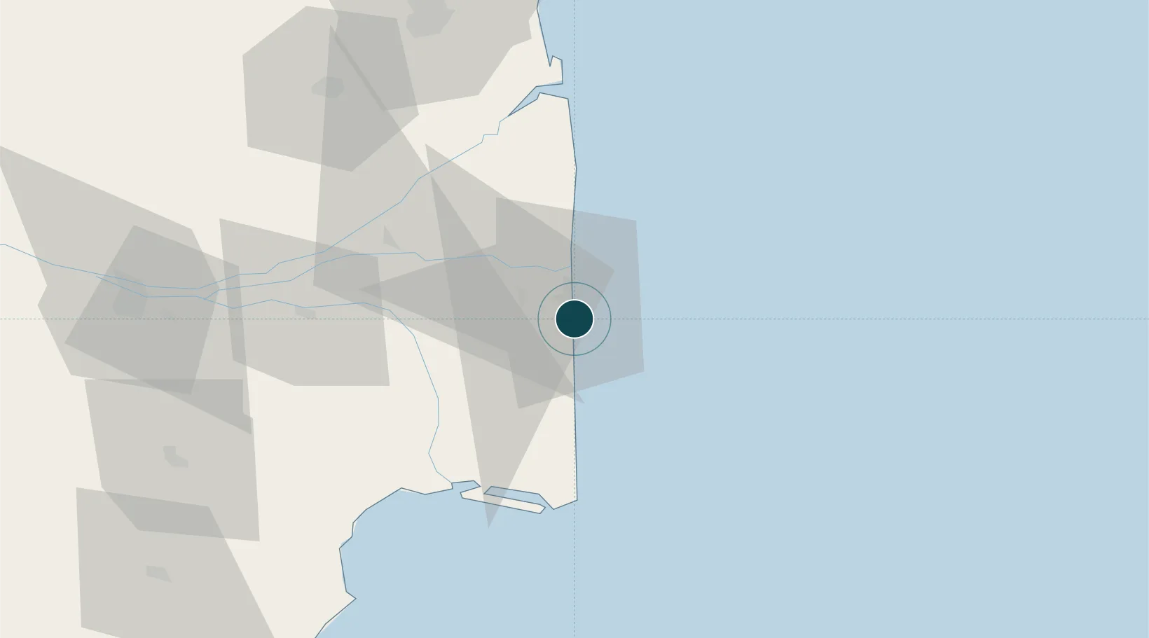
Water body
Bay of Bengal; Indian Ocean
Pilotage
No
Location
Nearby Logistics Neighbours
Ports
- 1Karaikal Port8 km
- 2Cuddalore106 km
- 3Kankesanturai108 km
- 4Pondicherry130 km
- 5Chennai (Madras)264 km
Cities
- 1Karaikal8 km
- 2Fllpl-SEZ/Thirruvallur22 km
- 3Kumbakonam56 km
- 4Chidambaram72 km
- 5ECTN SEZ/Tiruchirapalli128 km
Airports
- 1Jaffna International Airport111 km
- 2Tiruchirappalli International Airport124 km
- 3Pondicherry Airport134 km
- 4Iranamadu Airport177 km
- 5Madurai Airport218 km
DatabookThe Record of Consolidated Knowledge
India beyond logistics?