Transport Functions
Port
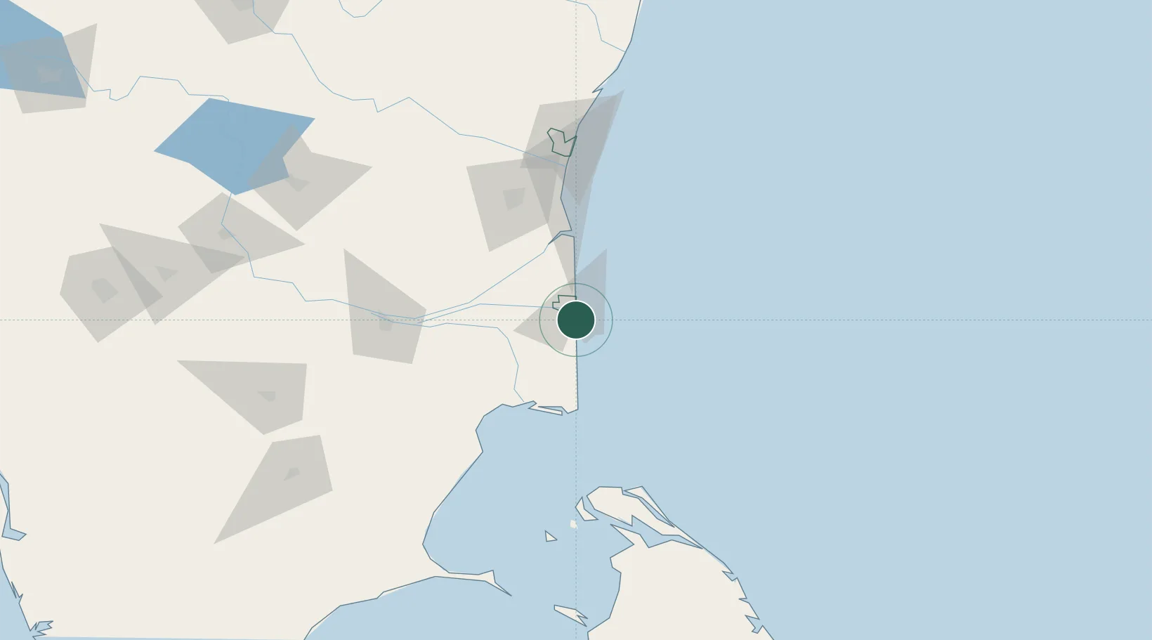
Hub Profile
Place type
Populated place
Region
Puducherry
Population
86,838
Time zone
Asia/Kolkata
Elevation
8 m
Logistics facilities
1
Location
Nearby Logistics Neighbours
Cities
- 1Nagappattinam7 km
- 2Fllpl-SEZ/Thirruvallur23 km
- 3Kumbakonam53 km
- 4Chidambaram65 km
- 5Pondicherry120 km
Ports
- 1Nagappattinam8 km
- 2Cuddalore98 km
- 3Kankesanturai116 km
- 4Pondicherry122 km
- 5Chennai (Madras)257 km
Airports
- 1Jaffna International Airport119 km
- 2Tiruchirappalli International Airport123 km
- 3Pondicherry Airport126 km
- 4Iranamadu Airport184 km
- 5Salem Airport221 km
DatabookThe Record of Consolidated Knowledge
India beyond logistics?