Runway & Layout

Airport Specifications
Airport class
Small airport
Scheduled service
Yes
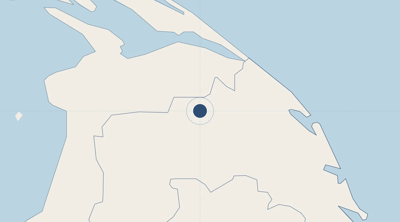
Served city
Kilinochchi
Location
Nearby Logistics Neighbours
Airports
- 1Jaffna International Airport71 km
- 2Anuradhapura Airport112 km
- 3China Bay Airport114 km
- 4Hingurakgoda Air Force Base150 km
- 5Batticaloa International Airport221 km
Cities
- 1Kilinochchi14 km
- 2Gampola144 km
- 3Puttalam160 km
- 4Nagappattinam180 km
- 5Karaikal184 km
Ports
- 1Kankesanturai74 km
- 2Trincomalee Harbor116 km
- 3Nagappattinam177 km
- 4Karaikal Port183 km
- 5Tuticorin261 km
Trade Zones
DatabookThe Record of Consolidated Knowledge
Sri Lanka beyond logistics?