Large airport · Sri Lanka

Jaffna International AirportVCCJ
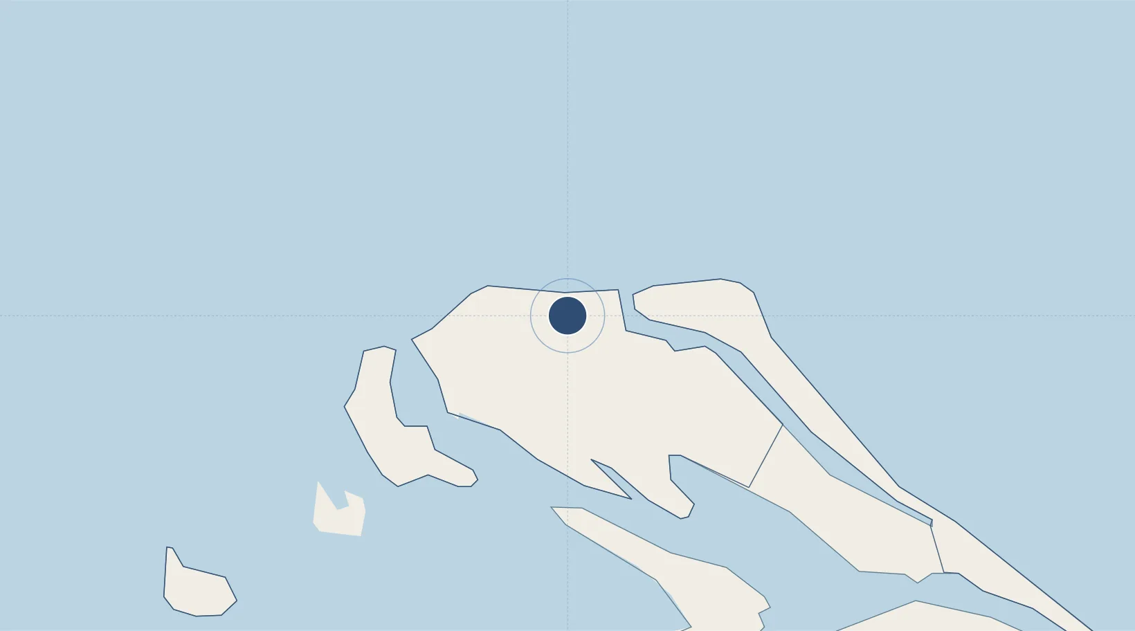
9.7923°, 80.0701°
4,593 ft
Longest runway
1
Runways
33 ft
Elevation

Runway & Layout

Jaffna International Airport runway & taxiway layout
Runway & taxiway layout — OpenStreetMap (ODbL) / OurAirports

Radio Frequencies

TWR
124.3 MHz
OurAirports

Navaids

KK NDB Kankesanturai 236 kHz
OurAirports

Runways · 1

RunwayDimensions SurfaceTrue headingLit
05/23 4,593 × 98ft Asphalt
OurAirports

Airport Specifications

IATA code
JAF
OurAirports
ICAO code
VCCJ
OurAirports
Airport class
Large airport
OurAirports
Scheduled service
Yes
OurAirports
Runway surface
Asphalt
OurAirports
Served city
Jaffna
OurAirports

Location

Location of VCCJ
Natural Earth 10m (public domain) · Yāpanaya · VCCJ · 9.79, 80.07GoogleOSMYandex

Nearby Logistics Neighbours

Airports
  1. 1Iranamadu Airport71 km
  2. 2Anuradhapura Airport170 km
  3. 3Tiruchirappalli International Airport183 km
  4. 4China Bay Airport185 km
  5. 5Madurai Airport217 km
Nearest neighbours — logibook spatial index (haversine) over the source coordinates
Cities
  1. 1Kilinochchi57 km
  2. 2Nagappattinam114 km
  3. 3Fllpl-SEZ/Thirruvallur118 km
  4. 4Karaikal119 km
  5. 5Kumbakonam151 km
Nearest neighbours — logibook spatial index (haversine) over the source coordinates
Ports
  1. 1Kankesanturai4 km
  2. 2Nagappattinam111 km
  3. 3Karaikal Port118 km
  4. 4Trincomalee Harbor187 km
  5. 5Cuddalore217 km
Nearest neighbours — logibook spatial index (haversine) over the source coordinates
Trade Zones
  1. 1Jaffna - Atchchuveli Industrial Estate15 km
  2. 2Magathawama Export Processing Zone266 km
  3. 3Kurunegala - Pannala Industrial Estate274 km
  4. 4Polgahawela Export Processing Zone275 km
  5. 5Mirigama Export Processing Zone279 km
Nearest neighbours — logibook spatial index (haversine) over the source coordinates
DatabookThe Record of Consolidated Knowledge
Sri Lanka beyond logistics?
Browse databook

All Sources

AirportsOurAirports
Public domain
Portsthe NGA World Port Index
Public domain (US gov)
LocationsUN/LOCODE
UN/LOCODE — free
Trade Zonesthe World Bank SEZ database
CC BY 4.0
Trade ZonesOpen Zone Map
CC BY
InfrastructureOpenStreetMap
ODbL 1.0
← Sri Lanka airports