Large airport · India

Tiruchirappalli International AirportVOTR
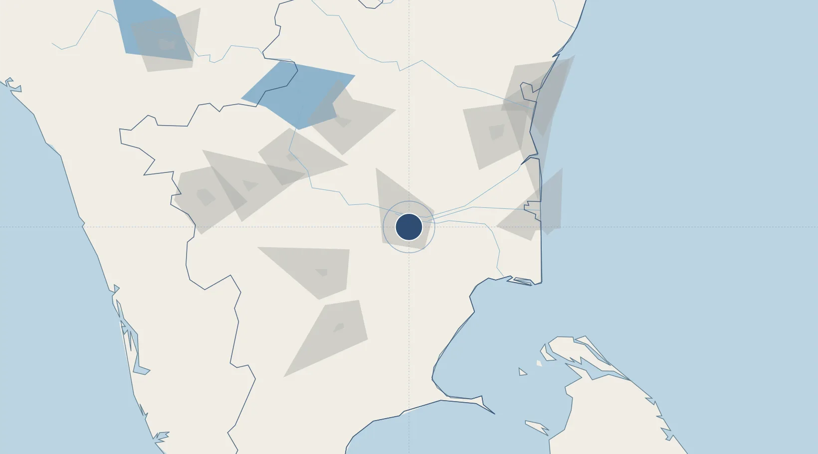
10.7629°, 78.7177°
6,115 ft
Longest runway
1
Runways
288 ft
Elevation

Runway & Layout

Tiruchirappalli International Airport runway & taxiway layout
Runway & taxiway layout — OpenStreetMap (ODbL) / OurAirports

Radio Frequencies

TWR
118.3 MHz
TRICHY TWR
APP
119.7 MHz
TRICHY APP
OurAirports

Navaids

TR NDB Tiruchirappalli 307 kHz
TTR VOR-DME Tiruchirappalli 113.10 MHz
OurAirports

Runways · 1

RunwayDimensions SurfaceTrue headingLit
09/27 6,115 × 150ft Asphalt 086°
OurAirports

Airport Specifications

IATA code
TRZ
OurAirports
ICAO code
VOTR
OurAirports
Airport class
Large airport
OurAirports
Scheduled service
Yes
OurAirports
Runway surface
Asphalt
OurAirports
Served city
Tiruchirappalli
OurAirports

Location

Location of VOTR
Natural Earth 10m (public domain) · Tamil Nadu · VOTR · 10.76, 78.72GoogleOSMYandex

Nearby Logistics Neighbours

Airports
  1. 1Madurai Airport124 km
  2. 2Salem Airport134 km
  3. 3Pondicherry Airport179 km
  4. 4Jaffna International Airport183 km
  5. 5Coimbatore International Airport185 km
Nearest neighbours — logibook spatial index (haversine) over the source coordinates
Cities
  1. 1ECTN SEZ/Tiruchirapalli7 km
  2. 2Karur72 km
  3. 3Kumbakonam76 km
  4. 4Fllpl-SEZ/Thirruvallur102 km
  5. 5Ambatturai (Ambathurai)102 km
Nearest neighbours — logibook spatial index (haversine) over the source coordinates
Ports
  1. 1Nagappattinam124 km
  2. 2Karaikal Port126 km
  3. 3Cuddalore156 km
  4. 4Pondicherry178 km
  5. 5Kankesanturai180 km
Nearest neighbours — logibook spatial index (haversine) over the source coordinates
Trade Zones
  1. 1Aspen Karumathamapatti Special Economic Zone (Formerly Aspen)174 km
  2. 2Jaffna - Atchchuveli Industrial Estate188 km
  3. 3Rathinam Techzone191 km
  4. 4Span Ventures191 km
  5. 5Hcl Technologies Ltd.253 km
Nearest neighbours — logibook spatial index (haversine) over the source coordinates
DatabookThe Record of Consolidated Knowledge
India beyond logistics?
Browse databook

All Sources

AirportsOurAirports
Public domain
Portsthe NGA World Port Index
Public domain (US gov)
LocationsUN/LOCODE
UN/LOCODE — free
Trade Zonesthe World Bank SEZ database
CC BY 4.0
Trade ZonesOpen Zone Map
CC BY
InfrastructureOpenStreetMap
ODbL 1.0
← India airports