UN/LOCODE hub · India
INGDP

Fllpl-SEZ/Thirruvallur

10.7667°, 79.6500°
1
Transport functions

Transport Functions

Multimodal
UN/LOCODE

Hub Profile

Region
TN
GeoNames

Location

Location of INGDP
Natural Earth 10m (public domain) · TN · INGDP · 10.77, 79.65GoogleOSMYandex

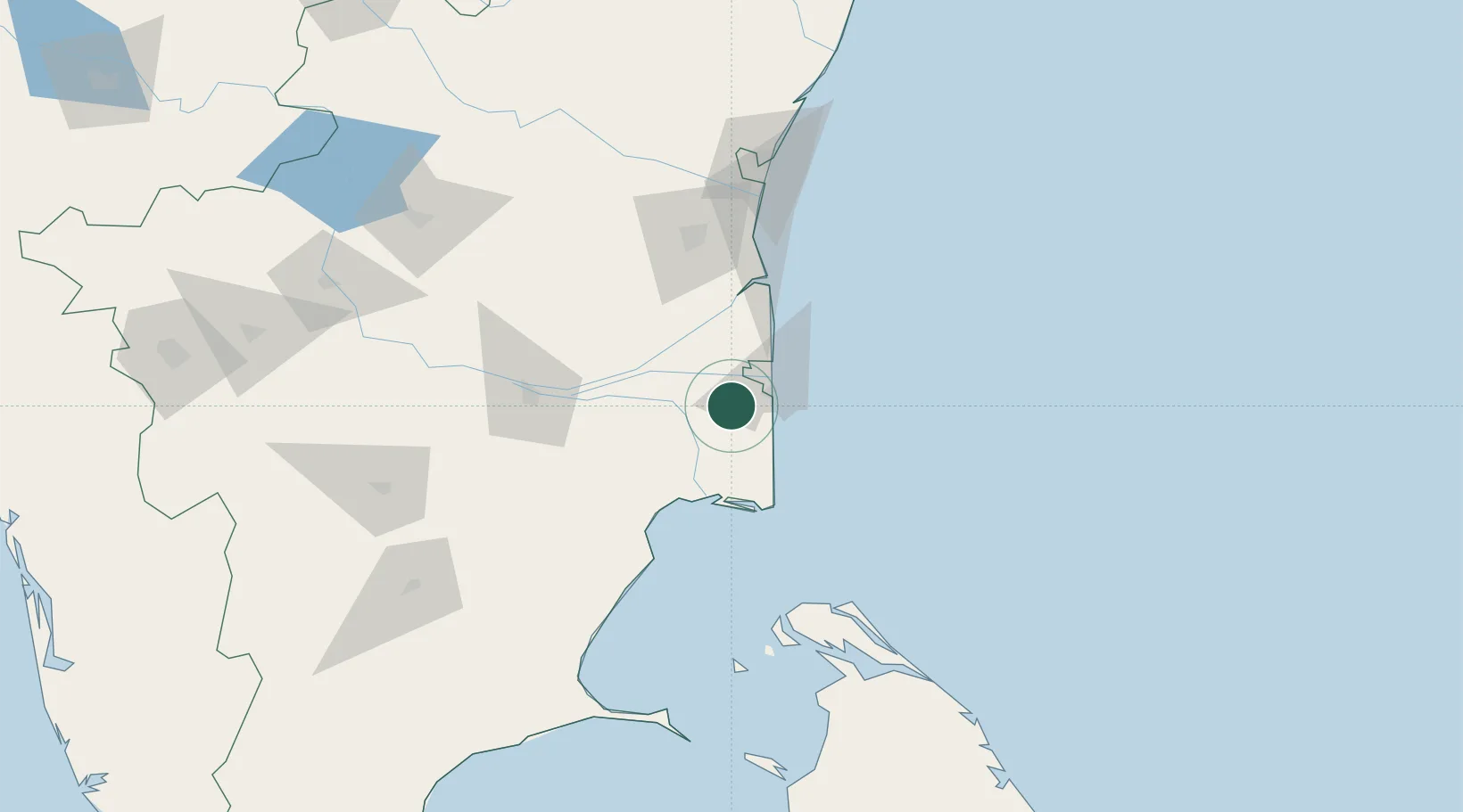
Nearby Logistics Neighbours

Cities
  1. 1Nagappattinam18 km
  2. 2Karaikal23 km
  3. 3Kumbakonam37 km
  4. 4Chidambaram71 km
  5. 5ECTN SEZ/Tiruchirapalli106 km
Nearest neighbours — logibook spatial index (haversine) over the source coordinates
Ports
  1. 1Nagappattinam22 km
  2. 2Karaikal Port25 km
  3. 3Cuddalore106 km
  4. 4Kankesanturai114 km
  5. 5Pondicherry131 km
Nearest neighbours — logibook spatial index (haversine) over the source coordinates
Airports
  1. 1Tiruchirappalli International Airport102 km
  2. 2Jaffna International Airport118 km
  3. 3Pondicherry Airport135 km
  4. 4Iranamadu Airport187 km
  5. 5Madurai Airport199 km
Nearest neighbours — logibook spatial index (haversine) over the source coordinates
DatabookThe Record of Consolidated Knowledge
India beyond logistics?
Browse databook

All Sources

LocationsUN/LOCODE
UN/LOCODE — free
Portsthe NGA World Port Index
Public domain (US gov)
AirportsOurAirports
Public domain
Trade Zonesthe World Bank SEZ database
CC BY 4.0
Trade ZonesOpen Zone Map
CC BY
← India locations