UN/LOCODE hub · India
INKBM

Kumbakonam

10.9667°, 79.3833°
167,155
Population
1
Transport functions

Transport Functions

Multimodal
UN/LOCODE

Hub Profile

Place type
Populated place
GeoNames
Region
Tamil Nadu
GeoNames
Population
167,155
GeoNames
Time zone
Asia/Kolkata
GeoNames
Elevation
31 m
GeoNames

Location

Location of INKBM
Natural Earth 10m (public domain) · Tamil Nadu · INKBM · 10.97, 79.38GoogleOSMYandex

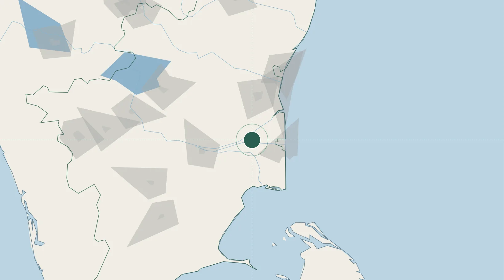
Nearby Logistics Neighbours

Cities
  1. 1Fllpl-SEZ/Thirruvallur37 km
  2. 2Nagappattinam52 km
  3. 3Karaikal53 km
  4. 4Chidambaram59 km
  5. 5ECTN SEZ/Tiruchirapalli78 km
Nearest neighbours — logibook spatial index (haversine) over the source coordinates
Ports
  1. 1Karaikal Port55 km
  2. 2Nagappattinam56 km
  3. 3Cuddalore93 km
  4. 4Pondicherry118 km
  5. 5Kankesanturai147 km
Nearest neighbours — logibook spatial index (haversine) over the source coordinates
Airports
  1. 1Tiruchirappalli International Airport76 km
  2. 2Pondicherry Airport121 km
  3. 3Jaffna International Airport151 km
  4. 4Salem Airport170 km
  5. 5Madurai Airport189 km
Nearest neighbours — logibook spatial index (haversine) over the source coordinates
Trade Zones
  1. 1Jaffna - Atchchuveli Industrial Estate161 km
  2. 2Mahindra City Special Economic Zone208 km
  3. 3Flextronics Technologies (India) Private Limited222 km
  4. 4Cognizant Technology Solutions India Pvt. Ltd.231 km
  5. 5MEPZ Special Economic Zone234 km
Nearest neighbours — logibook spatial index (haversine) over the source coordinates
DatabookThe Record of Consolidated Knowledge
India beyond logistics?
Browse databook

All Sources

LocationsUN/LOCODE
UN/LOCODE — free
LocationsGeoNames
CC BY 4.0
Portsthe NGA World Port Index
Public domain (US gov)
AirportsOurAirports
Public domain
Trade Zonesthe World Bank SEZ database
CC BY 4.0
Trade ZonesOpen Zone Map
CC BY
← India locations