UN/LOCODE hub · India
INKDL

Kandla-SEZ/Gandhidham

23.0471°, 70.1979°
1
Transport functions

Transport Functions

Multimodal
UN/LOCODE

Hub Profile

Region
GJ
GeoNames
Logistics facilities
3
UN/LOCODE

Location

Location of INKDL
Natural Earth 10m (public domain) · GJ · INKDL · 23.05, 70.20GoogleOSMYandex

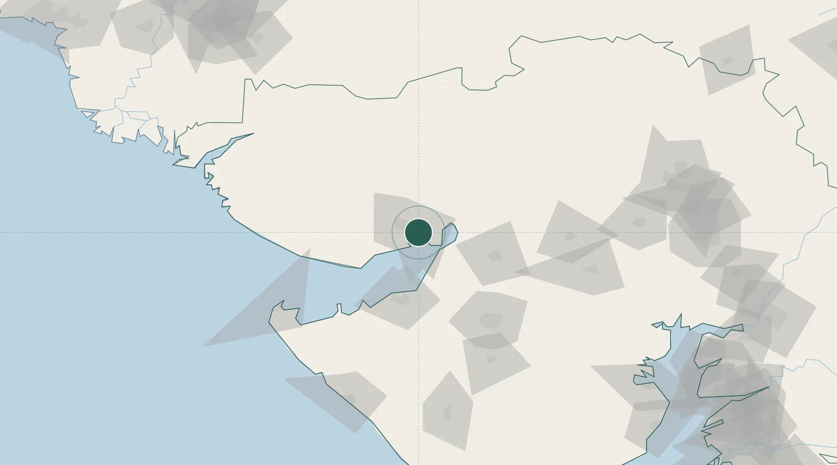
Nearby Logistics Neighbours

Cities
  1. 1Kandla3 km
  2. 2OPGS SEZ/Gandhidham8 km
  3. 3Gandhidham8 km
  4. 4Welspun Anjar-SEZ/Anjar21 km
  5. 5Rozi56 km
Nearest neighbours — logibook spatial index (haversine) over the source coordinates
Ports
  1. 1Kandla3 km
  2. 2Navlakhi28 km
  3. 3Bedi55 km
  4. 4Mundra62 km
  5. 5Sikka78 km
Nearest neighbours — logibook spatial index (haversine) over the source coordinates
Airports
  1. 1Kandla Airport12 km
  2. 2Bhuj Airport60 km
  3. 3Jamnagar Airport67 km
  4. 4Rajkot Airport102 km
  5. 5Rajkot International Airport114 km
Nearest neighbours — logibook spatial index (haversine) over the source coordinates
Trade Zones
  1. 1Kandla Special Economic Zone7 km
  2. 2Kandla Special Economic Zone7 km
  3. 3Euro Multivision Pvt. Ltd.31 km
  4. 4Ganesh Infrastructure Pvt. Ltd.54 km
  5. 5Adani Mundra Port61 km
Nearest neighbours — logibook spatial index (haversine) over the source coordinates
DatabookThe Record of Consolidated Knowledge
India beyond logistics?
Browse databook

All Sources

LocationsUN/LOCODE
UN/LOCODE — free
Portsthe NGA World Port Index
Public domain (US gov)
AirportsOurAirports
Public domain
Trade Zonesthe World Bank SEZ database
CC BY 4.0
Trade ZonesOpen Zone Map
CC BY
← India locations