Transport Functions
Rail
Road
Multimodal
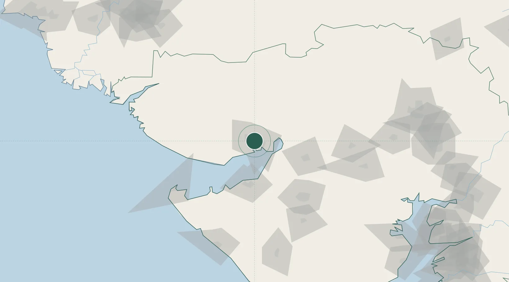
Hub Profile
Place type
Populated place
Region
Gujarat
Population
247,992
Time zone
Asia/Kolkata
Elevation
21 m
Logistics facilities
1
Location
Nearby Logistics Neighbours
Cities
- 1OPGS SEZ/Gandhidham0 km
- 2Kandla6 km
- 3Kandla-SEZ/Gandhidham8 km
- 4Welspun Anjar-SEZ/Anjar13 km
- 5Mundra53 km
Airports
- 1Kandla Airport5 km
- 2Bhuj Airport53 km
- 3Jamnagar Airport70 km
- 4Rajkot Airport109 km
- 5Rajkot International Airport122 km
Trade Zones
DatabookThe Record of Consolidated Knowledge
India beyond logistics?