UN/LOCODE hub · India
INAJE

Welspun Anjar-SEZ/Anjar

23.1333°, 70.0167°
1
Transport functions

Transport Functions

Multimodal
UN/LOCODE

Hub Profile

Region
GJ
GeoNames

Location

Location of INAJE
Natural Earth 10m (public domain) · GJ · INAJE · 23.13, 70.02GoogleOSMYandex

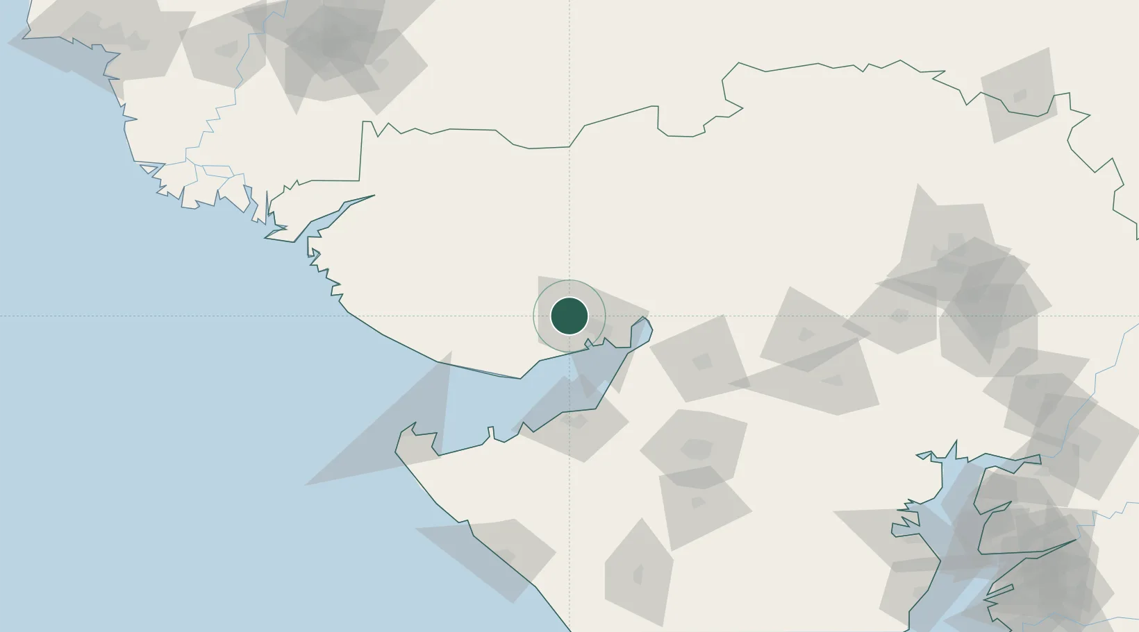
Nearby Logistics Neighbours

Cities
  1. 1OPGS SEZ/Gandhidham13 km
  2. 2Gandhidham13 km
  3. 3Kandla19 km
  4. 4Kandla-SEZ/Gandhidham21 km
  5. 5Mundra48 km
Nearest neighbours — logibook spatial index (haversine) over the source coordinates
Ports
  1. 1Kandla23 km
  2. 2Navlakhi48 km
  3. 3Mundra55 km
  4. 4Bedi62 km
  5. 5Mandvi76 km
Nearest neighbours — logibook spatial index (haversine) over the source coordinates
Airports
  1. 1Kandla Airport9 km
  2. 2Bhuj Airport39 km
  3. 3Jamnagar Airport74 km
  4. 4Rajkot Airport121 km
  5. 5Rajkot International Airport134 km
Nearest neighbours — logibook spatial index (haversine) over the source coordinates
Trade Zones
  1. 1Kandla Special Economic Zone16 km
  2. 2Kandla Special Economic Zone16 km
  3. 3Euro Multivision Pvt. Ltd.24 km
  4. 4Ganesh Infrastructure Pvt. Ltd.44 km
  5. 5Adani Mundra Port54 km
Nearest neighbours — logibook spatial index (haversine) over the source coordinates
DatabookThe Record of Consolidated Knowledge
India beyond logistics?
Browse databook

All Sources

LocationsUN/LOCODE
UN/LOCODE — free
Portsthe NGA World Port Index
Public domain (US gov)
AirportsOurAirports
Public domain
Trade Zonesthe World Bank SEZ database
CC BY 4.0
Trade ZonesOpen Zone Map
CC BY
← India locations