UN/LOCODE hub · Guatemala
GTSTC

Puerto Santo Tomás de Castilla

15.6927°, -88.6053°
1
Transport functions
1
Container terminals

Transport Functions

Port
UN/LOCODE

Hub Profile

Region
18
GeoNames
Logistics facilities
5
UN/LOCODE
Container terminals
1
UN/LOCODE

Location

Location of GTSTC
Natural Earth 10m (public domain) · 18 · GTSTC · 15.69, -88.61GoogleOSMYandex

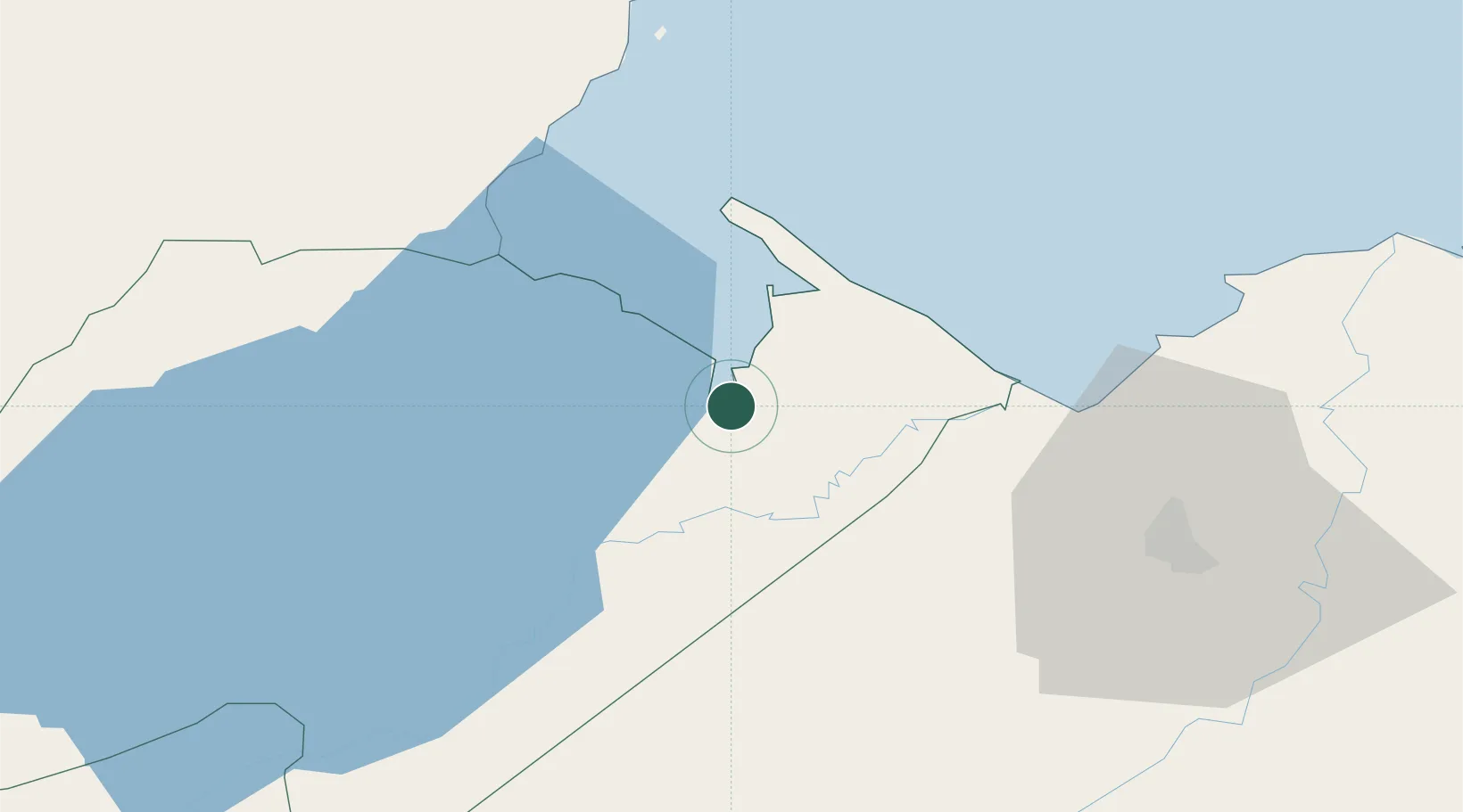
Nearby Logistics Neighbours

Cities
  1. 1Santo Tomas1 km
  2. 2Puerto Barrios3 km
  3. 3Entre Ríos10 km
  4. 4Lívingston22 km
  5. 5Corinto28 km
Nearest neighbours — logibook spatial index (haversine) over the source coordinates
Ports
  1. 1Santo Tomas De Castilla2 km
  2. 2Puerto Barrios5 km
  3. 3Puerto Cortes72 km
  4. 4Big Creek94 km
  5. 5Tela124 km
Nearest neighbours — logibook spatial index (haversine) over the source coordinates
Airports
  1. 1Puerto Barrios Airport5 km
  2. 2Punta Gorda Airport51 km
  3. 3Ramón Villeda Morales International Airport78 km
  4. 4Big Creek Airport94 km
  5. 5Independence Airport95 km
Nearest neighbours — logibook spatial index (haversine) over the source coordinates
Trade Zones
  1. 1Santo Tomas de Castillo Free Zone0 km
  2. 2Green Valley Industrial Park59 km
  3. 3Altia Smart City64 km
  4. 4ZIP San José68 km
  5. 5ZOLI Indhelva Free Zone69 km
Nearest neighbours — logibook spatial index (haversine) over the source coordinates
DatabookThe Record of Consolidated Knowledge
Guatemala beyond logistics?
Browse databook

All Sources

LocationsUN/LOCODE
UN/LOCODE — free
Portsthe NGA World Port Index
Public domain (US gov)
AirportsOurAirports
Public domain
Trade Zonesthe World Bank SEZ database
CC BY 4.0
Trade ZonesOpen Zone Map
CC BY
← Guatemala locations