Transport Functions
Multimodal
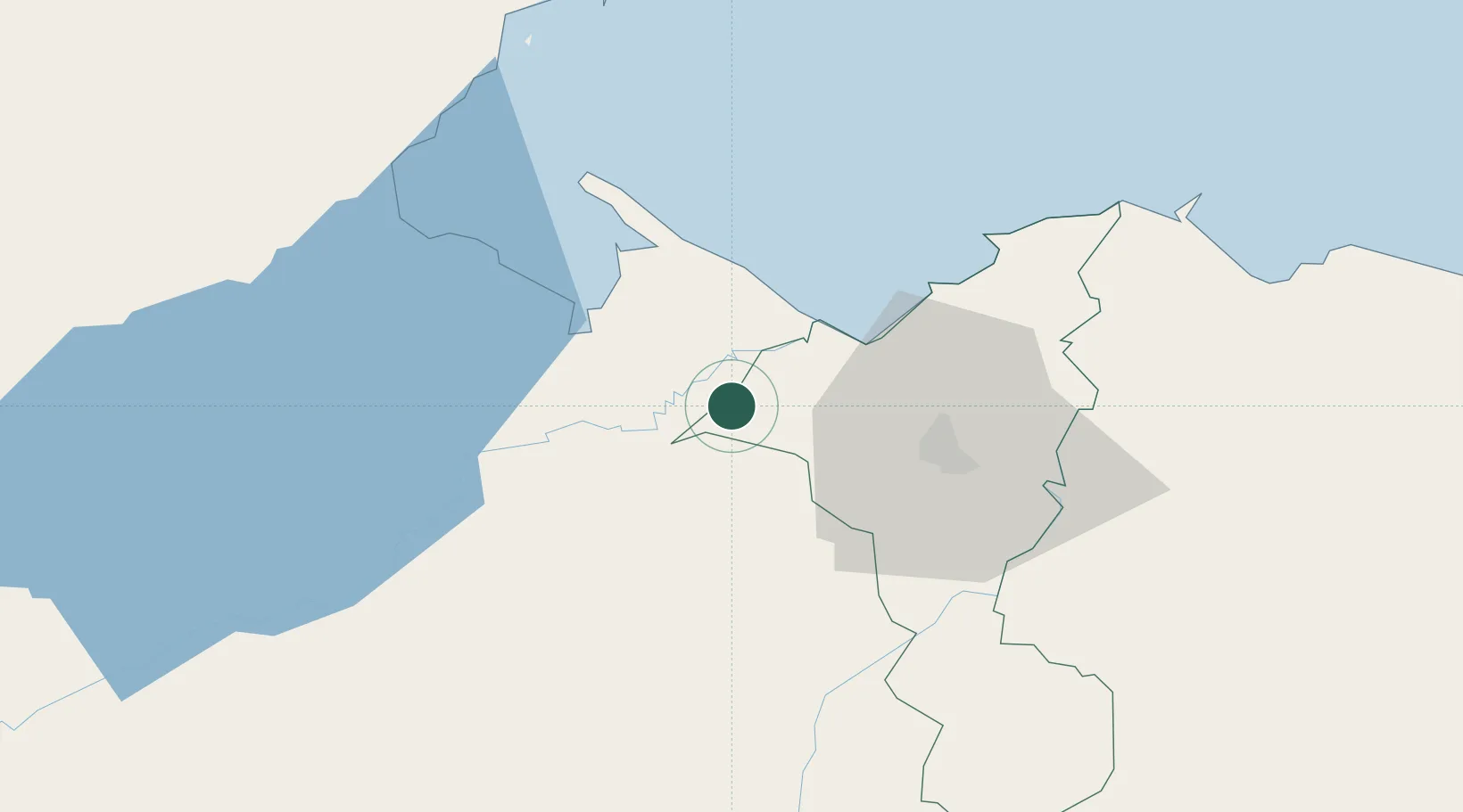
Hub Profile
Place type
Populated place
Region
Cortés Department
Population
954
Time zone
America/Tegucigalpa
Elevation
18 m
Location
Nearby Logistics Neighbours
Cities
- 1Caracol15 km
- 2Entre Ríos19 km
- 3Cuyamel20 km
- 4Quimistan26 km
- 5Santo Tomas27 km
Ports
- 1Santo Tomas De Castilla30 km
- 2Puerto Barrios30 km
- 3Puerto Cortes53 km
- 4Tela101 km
- 5Big Creek104 km
Airports
- 1Puerto Barrios Airport29 km
- 2Ramón Villeda Morales International Airport50 km
- 3Punta Gorda Airport75 km
- 4Tela Airport98 km
- 5Big Creek Airport104 km
Trade Zones
- 1Santo Tomas de Castillo Free Zone28 km
- 2Green Valley Industrial Park33 km
- 3Altia Smart City37 km
- 4ZIP San José40 km
- 5ZIP Bufalo Free Zone43 km
DatabookThe Record of Consolidated Knowledge
Honduras beyond logistics?