Transport Functions
Rail
Road
Multimodal
Hub Profile
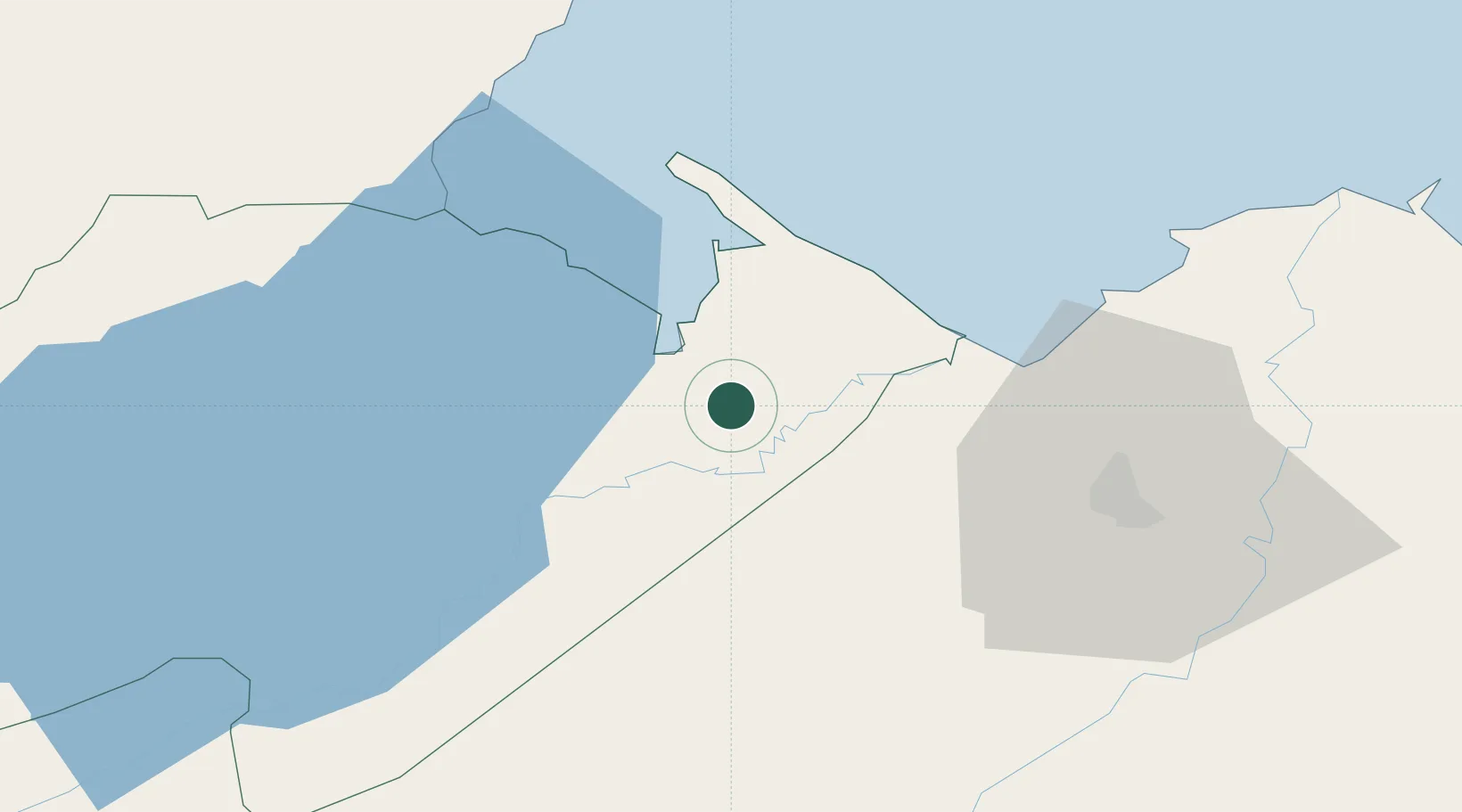
Place type
Populated place
Region
Izabal Department
Time zone
America/Guatemala
Elevation
24 m
Location
Nearby Logistics Neighbours
Cities
- 1Santo Tomas9 km
- 2Puerto Santo Tomás de Castilla10 km
- 3Puerto Barrios11 km
- 4Corinto19 km
- 5Caracol32 km
Ports
- 1Santo Tomas De Castilla12 km
- 2Puerto Barrios13 km
- 3Puerto Cortes66 km
- 4Big Creek99 km
- 5Tela117 km
Airports
- 1Puerto Barrios Airport12 km
- 2Punta Gorda Airport60 km
- 3Ramón Villeda Morales International Airport68 km
- 4Big Creek Airport99 km
- 5Independence Airport101 km
Trade Zones
- 1Santo Tomas de Castillo Free Zone10 km
- 2Green Valley Industrial Park49 km
- 3Altia Smart City55 km
- 4ZIP San José59 km
- 5ZOLI Indhelva Free Zone61 km
DatabookThe Record of Consolidated Knowledge
Guatemala beyond logistics?