UN/LOCODE hub · Greece
GRPFA

Palaiá Fókaia

37.7167°, 23.9500°
2,713
Population
2
Transport functions

Transport Functions

Port
Road
UN/LOCODE

Hub Profile

Place type
Populated place
GeoNames
Region
Attica
GeoNames
Population
2,713
GeoNames
Time zone
Europe/Athens
GeoNames
Elevation
8 m
GeoNames

Location

Location of GRPFA
Natural Earth 10m (public domain) · Attica · GRPFA · 37.72, 23.95GoogleOSMYandex

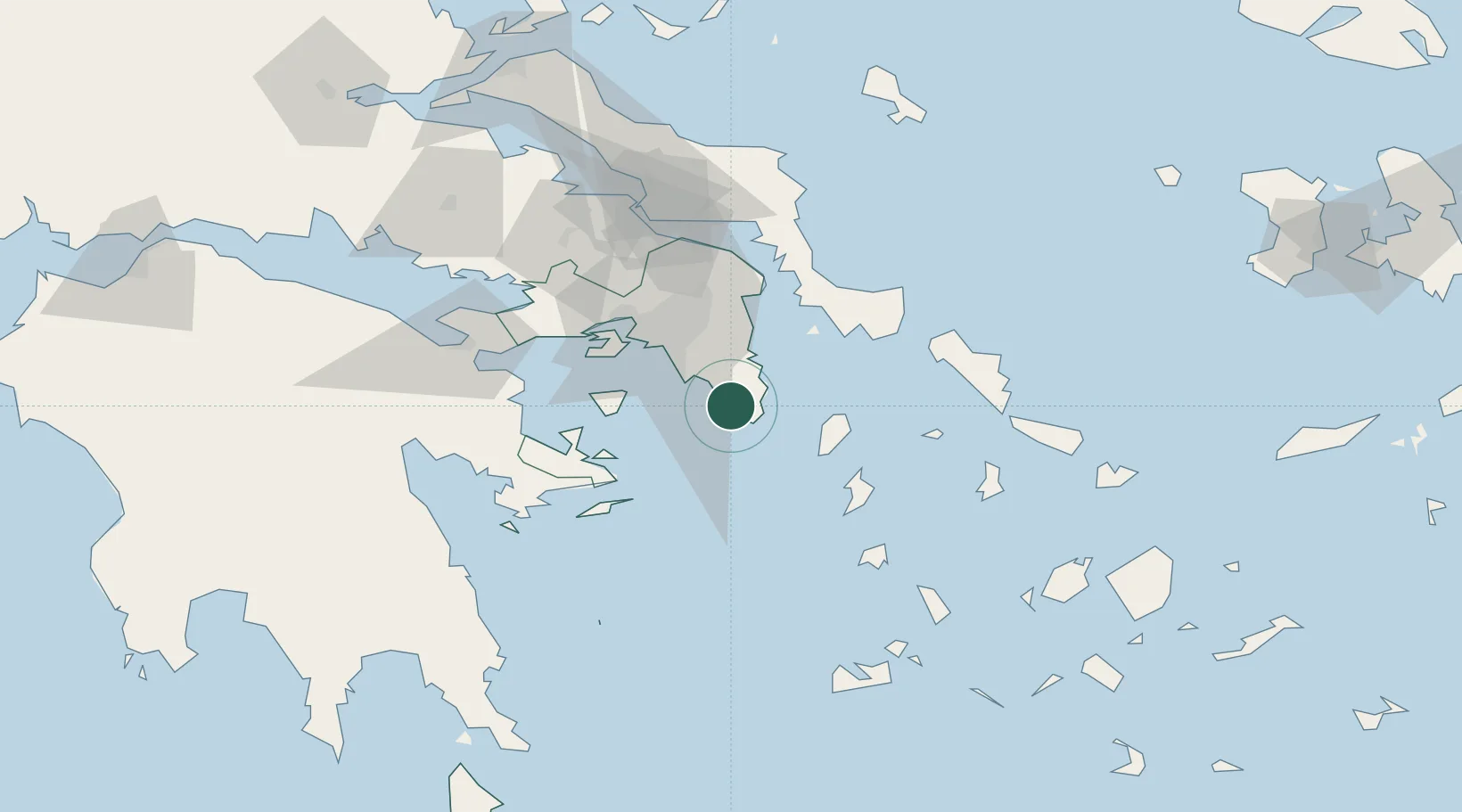
Nearby Logistics Neighbours

Cities
  1. 1Laurium (Lavrion)10 km
  2. 2Vouliagméni18 km
  3. 3Markopoulo19 km
  4. 4Glyfada24 km
  5. 5Artemis28 km
Nearest neighbours — logibook spatial index (haversine) over the source coordinates
Ports
  1. 1Lavrio10 km
  2. 2Piraievs36 km
  3. 3Megara Oil Terminal56 km
  4. 4Gavrio71 km
  5. 5Ormos Aliveriou75 km
Nearest neighbours — logibook spatial index (haversine) over the source coordinates
Airports
  1. 1Athens Eleftherios Venizelos International Airport24 km
  2. 2Elefsis Air Base52 km
  3. 3Tanagra Air Base77 km
  4. 4Syros Airport94 km
  5. 5Milos Airport123 km
Nearest neighbours — logibook spatial index (haversine) over the source coordinates
Trade Zones
  1. 1Free Zone of Piraeus39 km
  2. 2Free Zone of Platigiali (Astakos Etoloakarnanias)263 km
  3. 3Izmir Free Zone279 km
  4. 4Izmir Ataturk Organized Industrial Zone283 km
  5. 5Aegean Free Zone287 km
Nearest neighbours — logibook spatial index (haversine) over the source coordinates
DatabookThe Record of Consolidated Knowledge
Greece beyond logistics?
Browse databook

All Sources

LocationsUN/LOCODE
UN/LOCODE — free
LocationsGeoNames
CC BY 4.0
Portsthe NGA World Port Index
Public domain (US gov)
AirportsOurAirports
Public domain
Trade Zonesthe World Bank SEZ database
CC BY 4.0
Trade ZonesOpen Zone Map
CC BY
← Greece locations