Transport Functions
Port
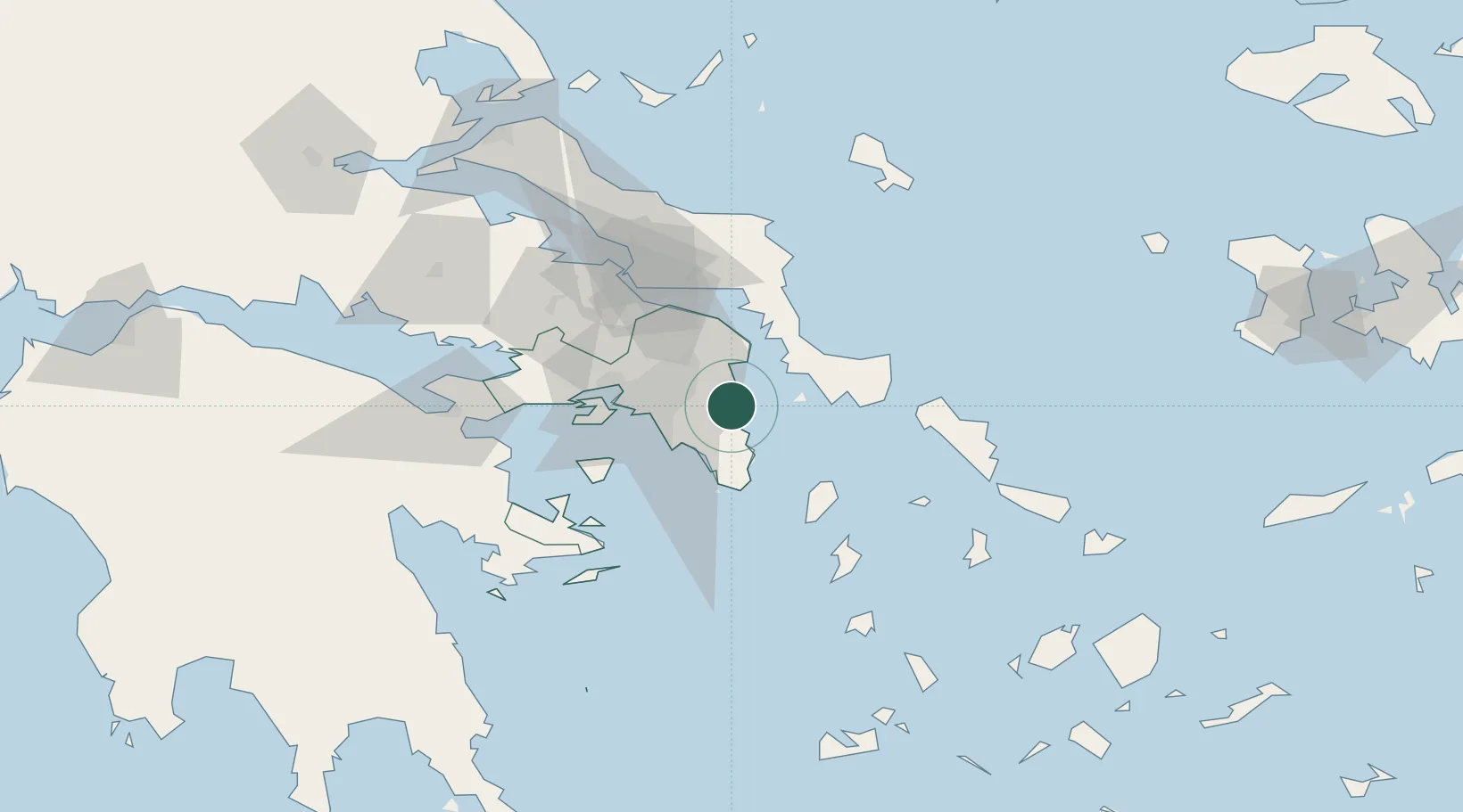
Location
Nearby Logistics Neighbours
Cities
- 1Pikérmion6 km
- 2Markopoulo11 km
- 3Glyfada25 km
- 4Agia Marina Grammatikou Attikis25 km
- 5Vouliagméni25 km
Ports
- 1Lavrio30 km
- 2Piraievs31 km
- 3Ormos Aliveriou47 km
- 4Megara Oil Terminal53 km
- 5Gavrio65 km
Airports
- 1Athens Eleftherios Venizelos International Airport6 km
- 2Elefsis Air Base40 km
- 3Tanagra Air Base56 km
- 4Syros Airport103 km
- 5Skiros Airport119 km
Trade Zones
DatabookThe Record of Consolidated Knowledge
Greece beyond logistics?