Transport Functions
Port
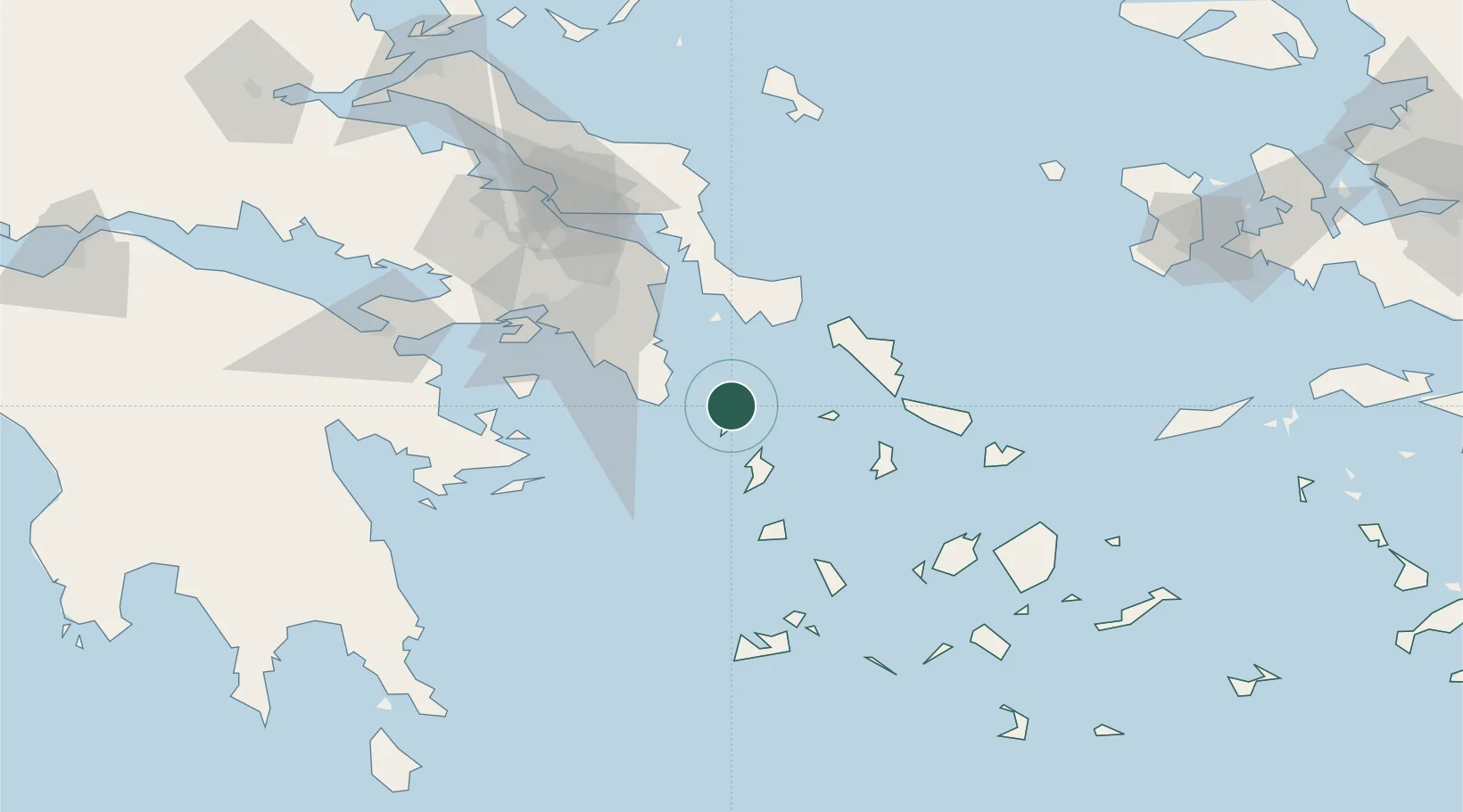
Location
Nearby Logistics Neighbours
Cities
- 1Laurium (Lavrion)23 km
- 2Kythnos31 km
- 3Palaiá Fókaia33 km
- 4Karystos42 km
- 5Markopoulo43 km
Ports
- 1Lavrio23 km
- 2Gavrio45 km
- 3Andros59 km
- 4Limin Sirou61 km
- 5Piraievs67 km
Airports
Trade Zones
DatabookThe Record of Consolidated Knowledge
Greece beyond logistics?