Medium airport · Greece

Mykonos Island National AirportLGMK
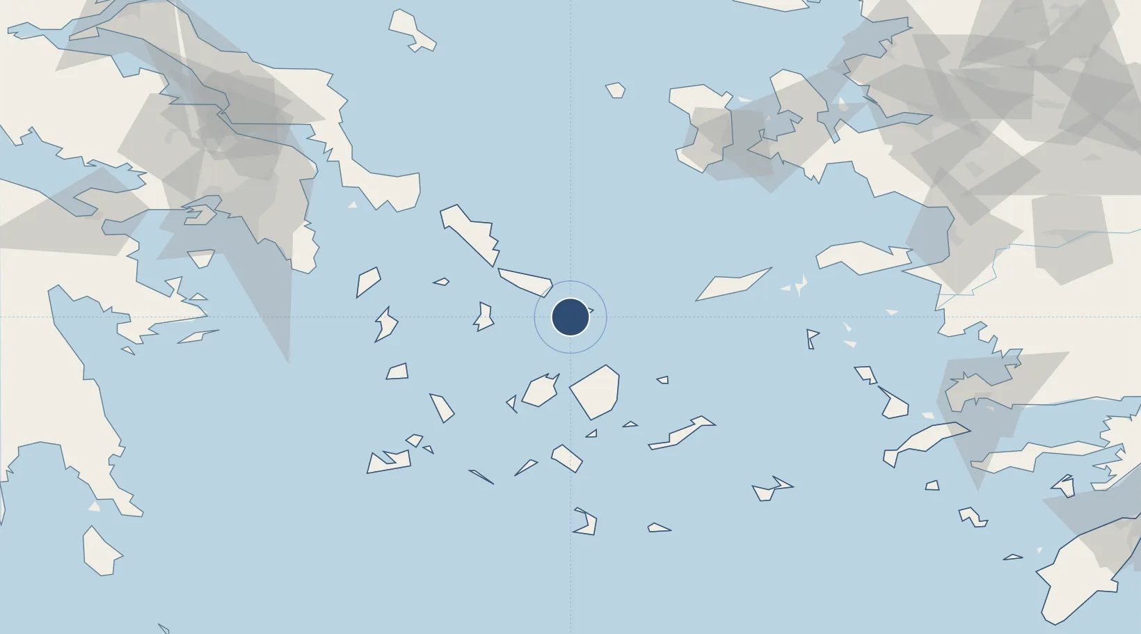
37.4351°, 25.3481°
6,240 ft
Longest runway
1
Runways
405 ft
Elevation

Runway & Layout

Mykonos Island National Airport runway & taxiway layout
Runway & taxiway layout — OpenStreetMap (ODbL) / OurAirports

Radio Frequencies

TWR
118.75 MHz
APP
118.75 MHz
A/G
563.7 MHz
RDO
OurAirports

Navaids

MKN VOR-DME Mikonos 110.00 MHz
MKO NDB Mikonos 401 kHz
OurAirports

Runways · 1

RunwayDimensions SurfaceTrue headingLit
16/34 6,240 × 98ft Asphalt 160°
OurAirports

Airport Specifications

IATA code
JMK
OurAirports
ICAO code
LGMK
OurAirports
Airport class
Medium airport
OurAirports
Scheduled service
Yes
OurAirports
Runway surface
Asphalt
OurAirports
Served city
Mykonos
OurAirports

Location

Location of LGMK
Natural Earth 10m (public domain) · Notio Aigaio · LGMK · 37.44, 25.35GoogleOSMYandex

Nearby Logistics Neighbours

Airports
  1. 1Syros Airport35 km
  2. 2Naxos Island National Airport39 km
  3. 3Paros National Airport51 km
  4. 4Ikaria Airport92 km
  5. 5Milos Airport113 km
Nearest neighbours — logibook spatial index (haversine) over the source coordinates
Cities
  1. 1Mykonos2 km
  2. 2Delos8 km
  3. 3Tínos19 km
  4. 4Órmos Panórmou36 km
  5. 5Naoussa Parou37 km
Nearest neighbours — logibook spatial index (haversine) over the source coordinates
Ports
  1. 1Mikonos2 km
  2. 2Limin Sirou35 km
  3. 3Nisos Naxos37 km
  4. 4Andros57 km
  5. 5Gavrio74 km
Nearest neighbours — logibook spatial index (haversine) over the source coordinates
Trade Zones
  1. 1Free Zone of Piraeus163 km
  2. 2Aegean Free Zone185 km
  3. 3Izmir Ataturk Organized Industrial Zone189 km
  4. 4Izmir Free Zone191 km
  5. 5Aliaga Kimya Ihtisas ve Karma Organized Industrial Zone214 km
Nearest neighbours — logibook spatial index (haversine) over the source coordinates
DatabookThe Record of Consolidated Knowledge
Greece beyond logistics?
Browse databook

All Sources

AirportsOurAirports
Public domain
Portsthe NGA World Port Index
Public domain (US gov)
LocationsUN/LOCODE
UN/LOCODE — free
Trade Zonesthe World Bank SEZ database
CC BY 4.0
Trade ZonesOpen Zone Map
CC BY
InfrastructureOpenStreetMap
ODbL 1.0
← Greece airports