UN/LOCODE hub · Greece
GRGAQ

Markopoulo

37.8833°, 23.9333°
9,513
Population
1
Transport functions

Transport Functions

Multimodal
UN/LOCODE

Hub Profile

Place type
District seat
GeoNames
Region
Attica
GeoNames
Population
9,513
GeoNames
Time zone
Europe/Athens
GeoNames
Elevation
95 m
GeoNames

Location

Location of GRGAQ
Natural Earth 10m (public domain) · Attica · GRGAQ · 37.88, 23.93GoogleOSMYandex

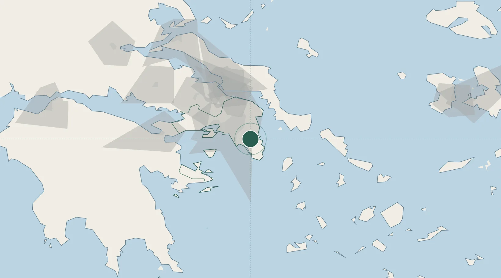
Nearby Logistics Neighbours

Cities
  1. 1Artemis11 km
  2. 2Pikérmion13 km
  3. 3Vouliagméni15 km
  4. 4Glyfada16 km
  5. 5Palaiá Fókaia19 km
Nearest neighbours — logibook spatial index (haversine) over the source coordinates
Ports
  1. 1Lavrio24 km
  2. 2Piraievs26 km
  3. 3Megara Oil Terminal48 km
  4. 4Ormos Aliveriou57 km
  5. 5Gavrio70 km
Nearest neighbours — logibook spatial index (haversine) over the source coordinates
Airports
  1. 1Athens Eleftherios Venizelos International Airport6 km
  2. 2Elefsis Air Base39 km
  3. 3Tanagra Air Base60 km
  4. 4Syros Airport103 km
  5. 5Skiros Airport130 km
Nearest neighbours — logibook spatial index (haversine) over the source coordinates
Trade Zones
  1. 1Free Zone of Piraeus29 km
  2. 2Free Zone of Platigiali (Astakos Etoloakarnanias)256 km
  3. 3Izmir Free Zone274 km
  4. 4Izmir Ataturk Organized Industrial Zone280 km
  5. 5Aegean Free Zone284 km
Nearest neighbours — logibook spatial index (haversine) over the source coordinates
DatabookThe Record of Consolidated Knowledge
Greece beyond logistics?
Browse databook

All Sources

LocationsUN/LOCODE
UN/LOCODE — free
LocationsGeoNames
CC BY 4.0
Portsthe NGA World Port Index
Public domain (US gov)
AirportsOurAirports
Public domain
Trade Zonesthe World Bank SEZ database
CC BY 4.0
Trade ZonesOpen Zone Map
CC BY
← Greece locations