Transport Functions
Port
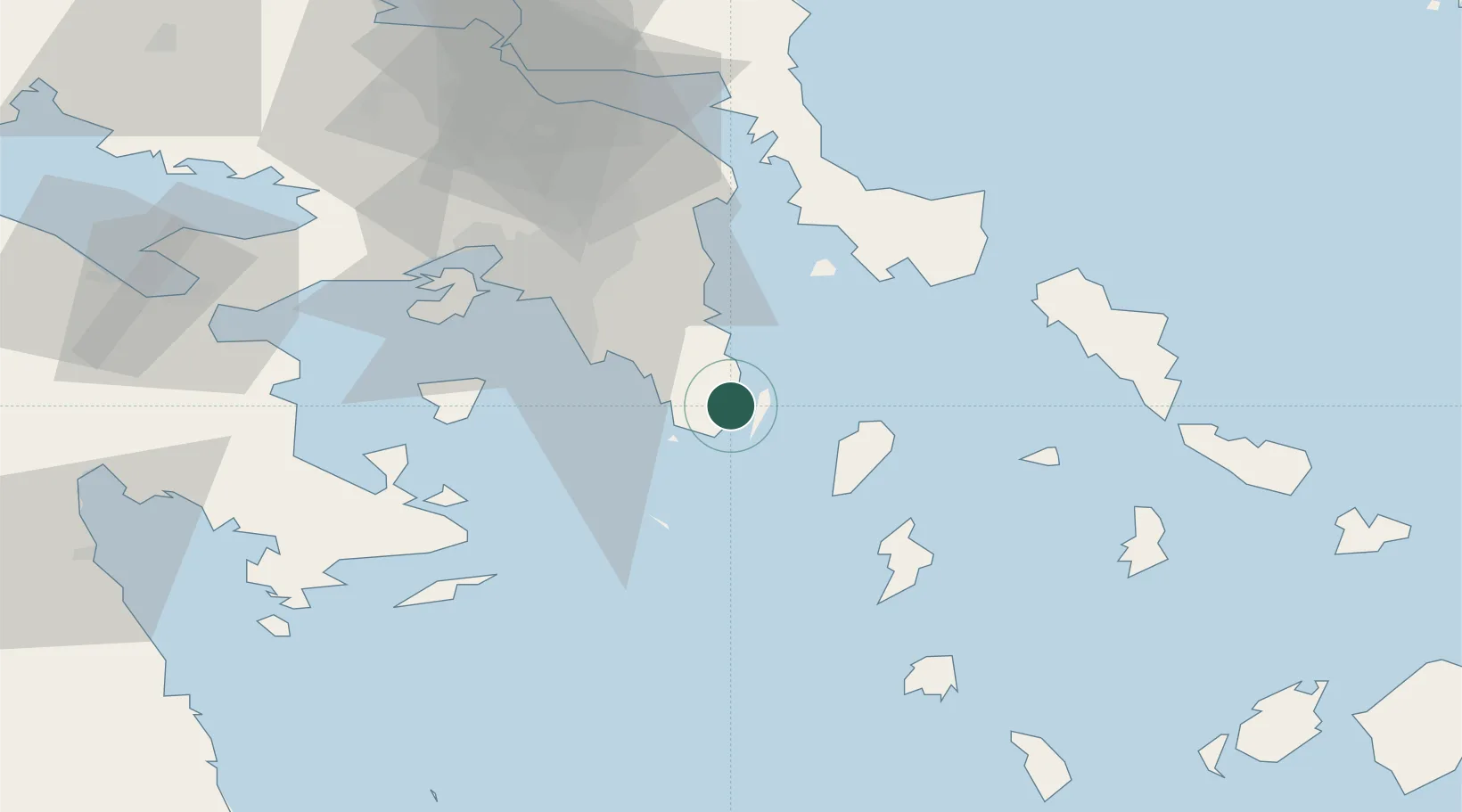
Location
Nearby Logistics Neighbours
Cities
- 1Palaiá Fókaia10 km
- 2Markopoulo22 km
- 3Kéa (Tzia)23 km
- 4Vouliagméni27 km
- 5Artemis28 km
Ports
- 1Piraievs44 km
- 2Gavrio61 km
- 3Megara Oil Terminal65 km
- 4Ormos Aliveriou74 km
- 5Andros79 km
Airports
Trade Zones
DatabookThe Record of Consolidated Knowledge
Greece beyond logistics?