UN/LOCODE hub · Greece
GRVLM

Vouliagméni

37.8167°, 23.7833°
4,180
Population
2
Transport functions

Transport Functions

Port
Road
UN/LOCODE

Hub Profile

Place type
Populated place
GeoNames
Region
Attica
GeoNames
Population
4,180
GeoNames
Time zone
Europe/Athens
GeoNames
Elevation
6 m
GeoNames

Location

Location of GRVLM
Natural Earth 10m (public domain) · Attica · GRVLM · 37.82, 23.78GoogleOSMYandex

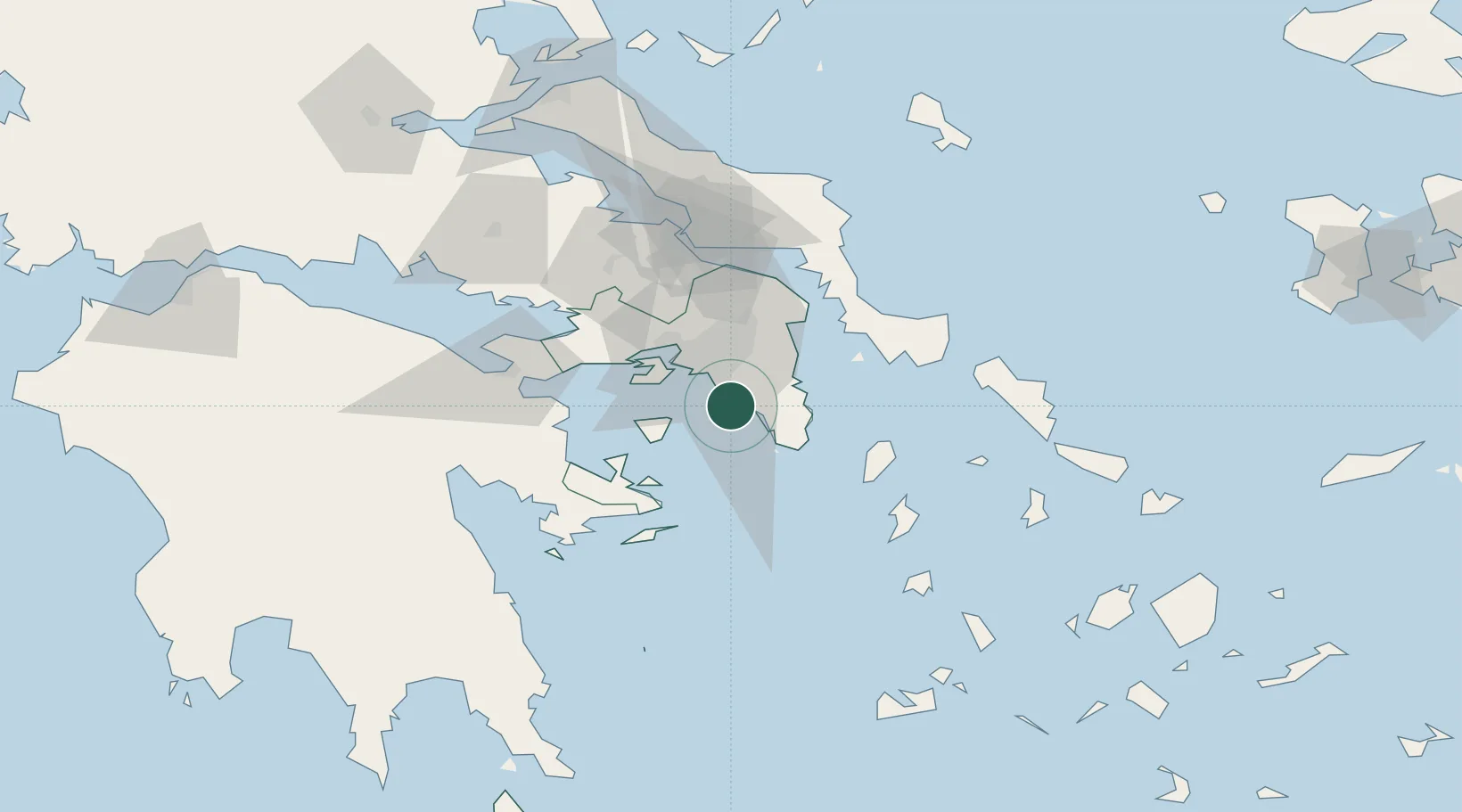
Nearby Logistics Neighbours

Cities
  1. 1Glyfada6 km
  2. 2Alimos13 km
  3. 3Markopoulo15 km
  4. 4Moschato/Athínai18 km
  5. 5Agios Ioannis Rentis18 km
Nearest neighbours — logibook spatial index (haversine) over the source coordinates
Ports
  1. 1Piraievs18 km
  2. 2Lavrio28 km
  3. 3Megara Oil Terminal38 km
  4. 4Ormos Aliveriou67 km
  5. 5Gavrio84 km
Nearest neighbours — logibook spatial index (haversine) over the source coordinates
Airports
  1. 1Athens Eleftherios Venizelos International Airport19 km
  2. 2Elefsis Air Base34 km
  3. 3Tanagra Air Base61 km
  4. 4Syros Airport112 km
  5. 5Milos Airport139 km
Nearest neighbours — logibook spatial index (haversine) over the source coordinates
Trade Zones
  1. 1Free Zone of Piraeus21 km
  2. 2Free Zone of Platigiali (Astakos Etoloakarnanias)246 km
  3. 3Izmir Free Zone289 km
  4. 4Izmir Ataturk Organized Industrial Zone294 km
  5. 5Aegean Free Zone298 km
Nearest neighbours — logibook spatial index (haversine) over the source coordinates
DatabookThe Record of Consolidated Knowledge
Greece beyond logistics?
Browse databook

All Sources

LocationsUN/LOCODE
UN/LOCODE — free
LocationsGeoNames
CC BY 4.0
Portsthe NGA World Port Index
Public domain (US gov)
AirportsOurAirports
Public domain
Trade Zonesthe World Bank SEZ database
CC BY 4.0
Trade ZonesOpen Zone Map
CC BY
← Greece locations