UN/LOCODE hub · Greece
GRKAV

Chrysoupoli

40.9833°, 24.7000°
1
Transport functions

Transport Functions

Multimodal
UN/LOCODE

Hub Profile

Region
55
GeoNames

Location

Location of GRKAV
Natural Earth 10m (public domain) · 55 · GRKAV · 40.98, 24.70GoogleOSMYandex

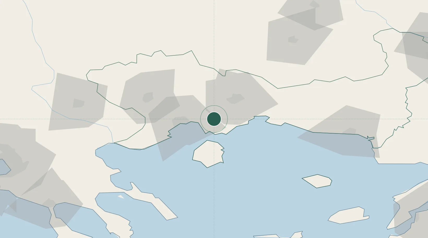
Nearby Logistics Neighbours

Cities
  1. 1Keramoti13 km
  2. 2Néa Karváli16 km
  3. 3Kavála26 km
  4. 4Amigdaleonas28 km
  5. 5Prinos Thassou28 km
Nearest neighbours — logibook spatial index (haversine) over the source coordinates
Ports
  1. 1Kavala26 km
  2. 2Lagos36 km
  3. 3Stratoni90 km
  4. 4Alexandroupoli101 km
  5. 5Yerakini131 km
Nearest neighbours — logibook spatial index (haversine) over the source coordinates
Airports
  1. 1Kavala Alexander the Great International Airport10 km
  2. 2Alexandroupoli Democritus Airport107 km
  3. 3Plovdiv International Airport121 km
  4. 4Limnos Airport127 km
  5. 5Graf Ignatievo Air Base145 km
Nearest neighbours — logibook spatial index (haversine) over the source coordinates
Trade Zones
  1. 1Kuklen Industrial and Commercial Zone118 km
  2. 2Plovdiv Free Zone127 km
  3. 3Trakia Economic Zone130 km
  4. 4Maritsa Industrial and Commercial Zone136 km
  5. 5Svilengrad Free Economic Zone152 km
Nearest neighbours — logibook spatial index (haversine) over the source coordinates
DatabookThe Record of Consolidated Knowledge
Greece beyond logistics?
Browse databook

All Sources

LocationsUN/LOCODE
UN/LOCODE — free
Portsthe NGA World Port Index
Public domain (US gov)
AirportsOurAirports
Public domain
Trade Zonesthe World Bank SEZ database
CC BY 4.0
Trade ZonesOpen Zone Map
CC BY
← Greece locations