Transport Functions
Multimodal
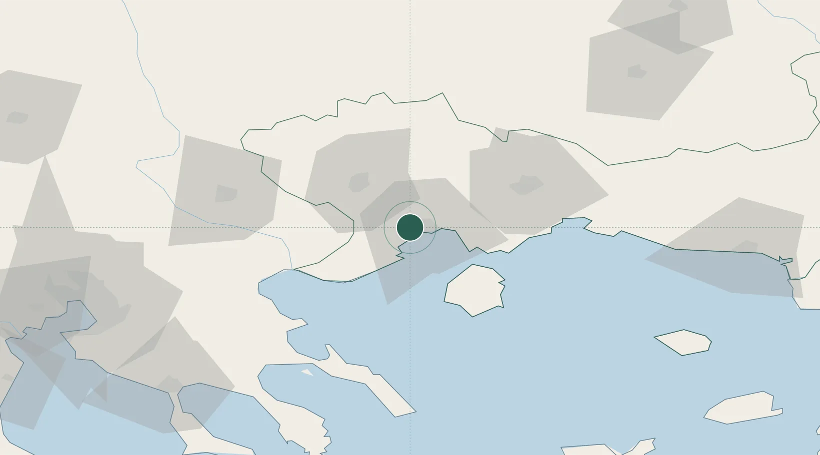
Location
Nearby Logistics Neighbours
Cities
- 1Kavála5 km
- 2Néa Karváli13 km
- 3Eleftheres14 km
- 4Chrysoupoli28 km
- 5Prinos Thassou29 km
Ports
- 1Kavala5 km
- 2Lagos65 km
- 3Stratoni67 km
- 4Yerakini109 km
- 5Thessaloniki126 km
Airports
Trade Zones
- 1Kuklen Industrial and Commercial Zone124 km
- 2Plovdiv Free Zone127 km
- 3Free Zone of Thessaloniki127 km
- 4Trakia Economic Zone136 km
- 5Maritsa Industrial and Commercial Zone141 km
DatabookThe Record of Consolidated Knowledge
Greece beyond logistics?