Large airport · Greece

Thessaloniki Macedonia International AirportLGTS
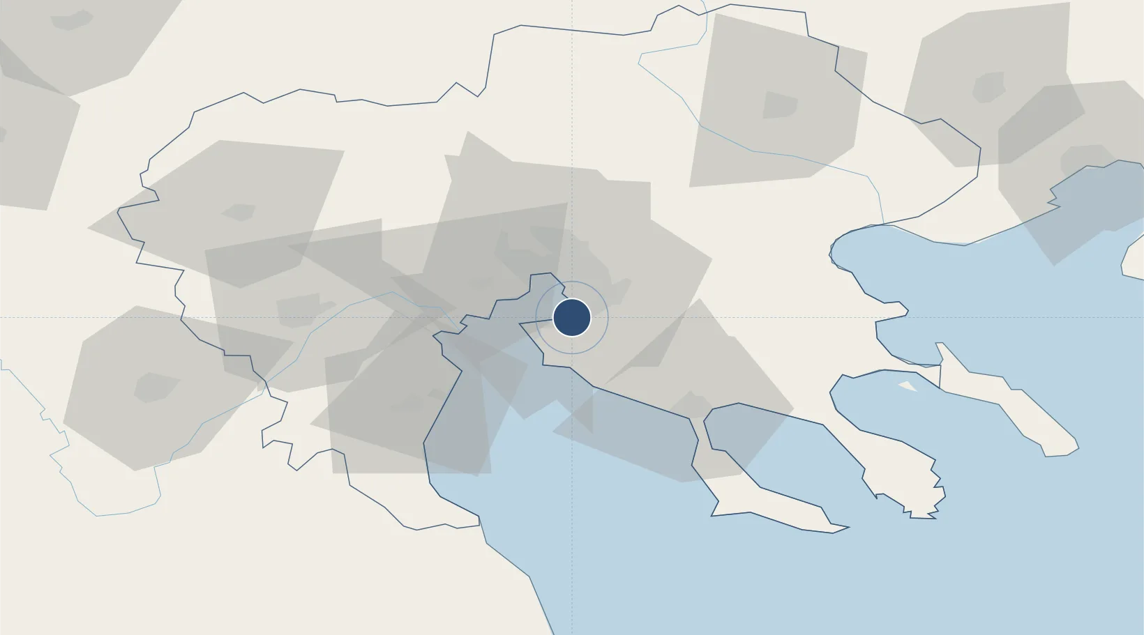
40.5193°, 22.9700°
11,286 ft
Longest runway
2
Runways
22 ft
Elevation

Runway & Layout

Thessaloniki Macedonia International Airport runway & taxiway layout
Runway & taxiway layout — OpenStreetMap (ODbL) / OurAirports

Radio Frequencies

ATIS
127.55 MHz
TWR
118.1 MHz
GND
121.7 MHz
CLD
118.05 MHz
CLNC DEL
APP
120.8 MHz
A/G
563.7 MHz
RDO
OurAirports

Navaids

MIK TACAN Mikra 117.40 MHz
MKA TACAN Mikra 115.30 MHz
MKR VOR-DME Mikra 110.80 MHz
THS NDB Thessaloniki 345 kHz
TSL VOR-DME Thessaloniki 112.10 MHz
OurAirports

Runways · 2

RunwayDimensions SurfaceTrue headingLit
10/28 11,286 × 164ft Asphalt 104°
16/34 7,907 × 197ft Asphalt 166°
OurAirports

Airport Specifications

IATA code
SKG
OurAirports
ICAO code
LGTS
OurAirports
Airport class
Large airport
OurAirports
Scheduled service
Yes
OurAirports
Runway surface
Asphalt
OurAirports
Served city
Thessaloniki
OurAirports

Location

Location of LGTS
Natural Earth 10m (public domain) · Kentriki Makedonia · LGTS · 40.52, 22.97GoogleOSMYandex

Nearby Logistics Neighbours

Airports
  1. 1Kozani National Airport Filippos99 km
  2. 2Kastoria National Airport Aristotle143 km
  3. 3Nea Anchialos National Airport145 km
  4. 4Kavala Alexander the Great International Airport146 km
  5. 5Skiathos Island National Airport156 km
Nearest neighbours — logibook spatial index (haversine) over the source coordinates
Cities
  1. 1Kalamaria6 km
  2. 2Perea6 km
  3. 3Thessaloníki15 km
  4. 4Évosmon17 km
  5. 5Oreokastro23 km
Nearest neighbours — logibook spatial index (haversine) over the source coordinates
Ports
  1. 1Thessaloniki13 km
  2. 2Yerakini51 km
  3. 3Stratoni73 km
  4. 4Volos128 km
  5. 5Kavala129 km
Nearest neighbours — logibook spatial index (haversine) over the source coordinates
Trade Zones
  1. 1Free Zone of Thessaloniki14 km
  2. 2TIDZ Gevgelija85 km
  3. 3TIDZ Strumica99 km
  4. 4TIDZ Radoviš131 km
  5. 5TIDZ Berovo132 km
Nearest neighbours — logibook spatial index (haversine) over the source coordinates
DatabookThe Record of Consolidated Knowledge
Greece beyond logistics?
Browse databook

All Sources

AirportsOurAirports
Public domain
Portsthe NGA World Port Index
Public domain (US gov)
LocationsUN/LOCODE
UN/LOCODE — free
Trade Zonesthe World Bank SEZ database
CC BY 4.0
Trade ZonesOpen Zone Map
CC BY
InfrastructureOpenStreetMap
ODbL 1.0
← Greece airports