Transport Functions
Port
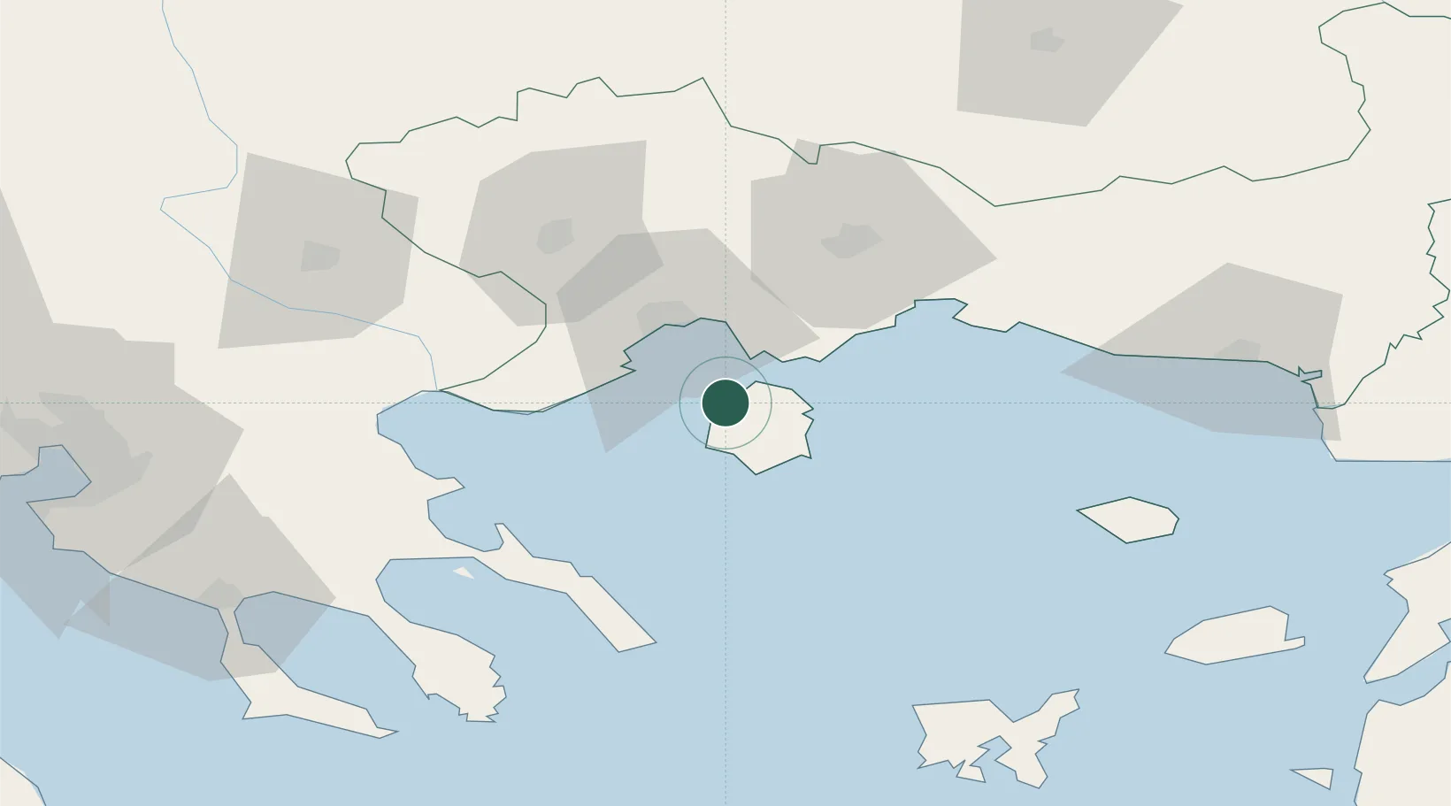
Location
Nearby Logistics Neighbours
Cities
- 1Keramoti17 km
- 2Eleftheres24 km
- 3Néa Karváli25 km
- 4Kavála25 km
- 5Chrysoupoli28 km
Ports
- 1Kavala25 km
- 2Lagos55 km
- 3Stratoni67 km
- 4Yerakini107 km
- 5Alexandroupoli111 km
Airports
Trade Zones
- 1Free Zone of Thessaloniki139 km
- 2Kuklen Industrial and Commercial Zone145 km
- 3Plovdiv Free Zone151 km
- 4Trakia Economic Zone157 km
- 5Maritsa Industrial and Commercial Zone162 km
DatabookThe Record of Consolidated Knowledge
Greece beyond logistics?