Transport Functions
Port
Road
Airport
Hub Profile
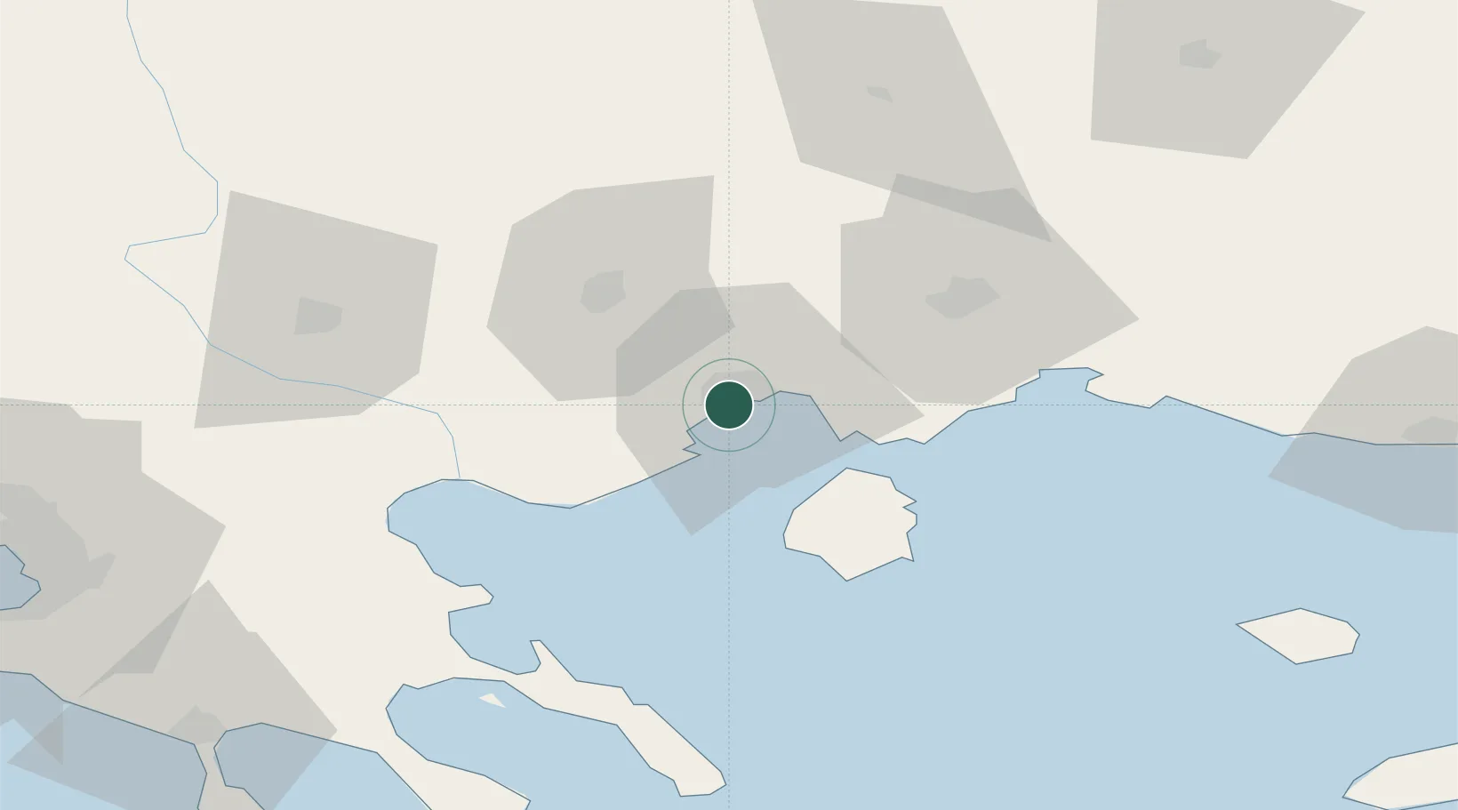
Place type
Provincial seat
Region
East Macedonia and Thrace
Population
54,027
Time zone
Europe/Athens
Elevation
34 m
Location
Nearby Logistics Neighbours
Cities
- 1Amigdaleonas5 km
- 2Néa Karváli11 km
- 3Eleftheres12 km
- 4Prinos Thassou25 km
- 5Chrysoupoli26 km
Ports
- 1Lagos62 km
- 2Stratoni67 km
- 3Yerakini108 km
- 4Alexandroupoli125 km
- 5Thessaloniki128 km
Airports
Trade Zones
- 1Kuklen Industrial and Commercial Zone127 km
- 2Free Zone of Thessaloniki129 km
- 3Plovdiv Free Zone130 km
- 4Trakia Economic Zone139 km
- 5Maritsa Industrial and Commercial Zone144 km
DatabookThe Record of Consolidated Knowledge
Greece beyond logistics?