UN/LOCODE hub · Greece
GRNKV

Néa Karváli

40.9667°, 24.5167°
2,160
Population
1
Transport functions

Transport Functions

Port
UN/LOCODE

Hub Profile

Place type
Populated place
GeoNames
Region
East Macedonia and Thrace
GeoNames
Population
2,160
GeoNames
Time zone
Europe/Athens
GeoNames
Elevation
5 m
GeoNames

Location

Location of GRNKV
Natural Earth 10m (public domain) · East Macedonia and Thrace · GRNKV · 40.97, 24.52GoogleOSMYandex

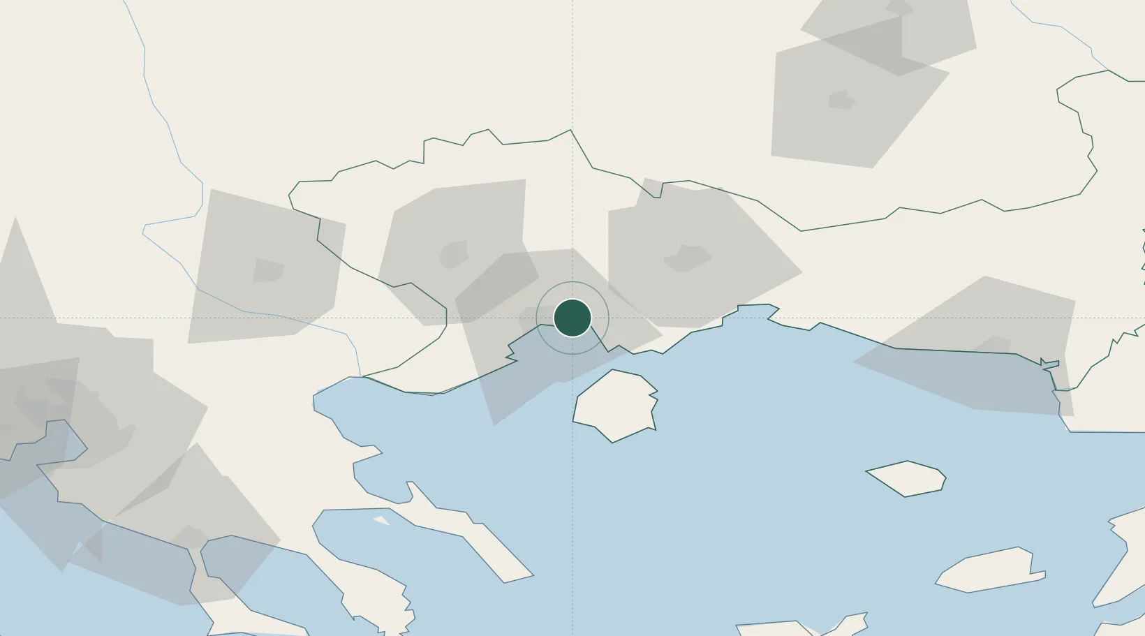
Nearby Logistics Neighbours

Cities
  1. 1Kavála11 km
  2. 2Amigdaleonas13 km
  3. 3Chrysoupoli16 km
  4. 4Keramoti19 km
  5. 5Eleftheres21 km
Nearest neighbours — logibook spatial index (haversine) over the source coordinates
Ports
  1. 1Kavala11 km
  2. 2Lagos52 km
  3. 3Stratoni76 km
  4. 4Alexandroupoli116 km
  5. 5Yerakini118 km
Nearest neighbours — logibook spatial index (haversine) over the source coordinates
Airports
  1. 1Kavala Alexander the Great International Airport11 km
  2. 2Alexandroupoli Democritus Airport122 km
  3. 3Plovdiv International Airport126 km
  4. 4Limnos Airport132 km
  5. 5Thessaloniki Macedonia International Airport140 km
Nearest neighbours — logibook spatial index (haversine) over the source coordinates
Trade Zones
  1. 1Kuklen Industrial and Commercial Zone121 km
  2. 2Plovdiv Free Zone127 km
  3. 3Trakia Economic Zone134 km
  4. 4Maritsa Industrial and Commercial Zone139 km
  5. 5Free Zone of Thessaloniki139 km
Nearest neighbours — logibook spatial index (haversine) over the source coordinates
DatabookThe Record of Consolidated Knowledge
Greece beyond logistics?
Browse databook

All Sources

LocationsUN/LOCODE
UN/LOCODE — free
LocationsGeoNames
CC BY 4.0
Portsthe NGA World Port Index
Public domain (US gov)
AirportsOurAirports
Public domain
Trade Zonesthe World Bank SEZ database
CC BY 4.0
Trade ZonesOpen Zone Map
CC BY
← Greece locations