Transport Functions
Port
Hub Profile
Place type
Populated place
Region
East Macedonia and Thrace
Population
1,303
Time zone
Europe/Athens
Elevation
71 m
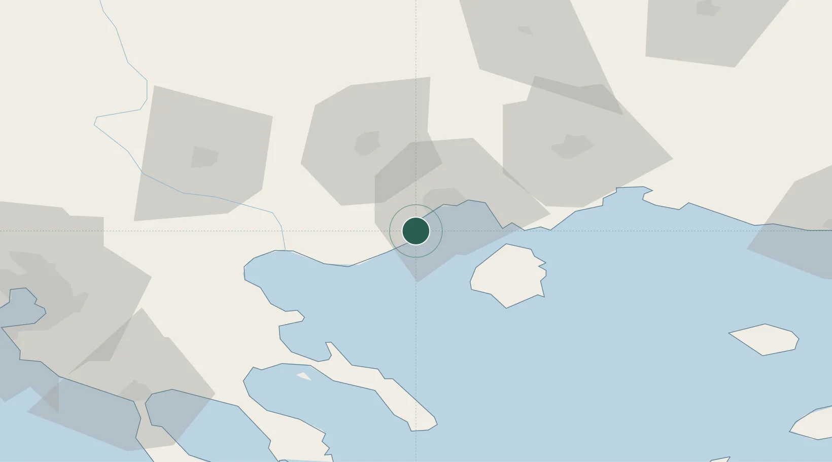
Location
Nearby Logistics Neighbours
Cities
- 1Kavála12 km
- 2Amigdaleonas14 km
- 3Néa Karváli21 km
- 4Prinos Thassou24 km
- 5Próti29 km
Ports
- 1Kavala12 km
- 2Stratoni55 km
- 3Lagos71 km
- 4Yerakini97 km
- 5Thessaloniki119 km
Airports
Trade Zones
- 1Free Zone of Thessaloniki120 km
- 2Kuklen Industrial and Commercial Zone138 km
- 3Plovdiv Free Zone140 km
- 4TIDZ Strumica148 km
- 5Trakia Economic Zone150 km
DatabookThe Record of Consolidated Knowledge
Greece beyond logistics?