Small airport · Greece
Limnos AirportLGLM
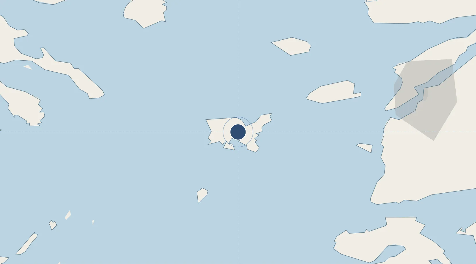
39.9171°, 25.2363°
9,895 ft
Longest runway
1
Runways
14 ft
Elevation
Runway & Layout

Radio Frequencies
TWR
122.1 MHz
APP
122.1 MHz
A/G
563.7 MHz
RDO
Navaids
LIO NDB Limnos 429 kHz
LMN TACAN Limnos 114.80 MHz
LMO VOR-DME Limnos 109.20 MHz
Runways · 1
| Runway | Dimensions | Surface | True heading | Lit |
|---|---|---|---|---|
| 04R/22L | 9,895 × 148ft | Asphalt | 043° | ✓ |
Airport Specifications
IATA code
LXS
ICAO code
LGLM
Airport class
Small airport
Scheduled service
Yes
Runway surface
Asphalt
Served city
Limnos Island
Location
Nearby Logistics Neighbours
Airports
Cities
- 1Moúdhros6 km
- 2Kontias Limnou12 km
- 3Mírina16 km
- 4Ágios Efstrátios48 km
- 5Gokceada65 km
Ports
- 1Eceabat101 km
- 2Canakkale102 km
- 3Alexandroupoli116 km
- 4Lagos121 km
- 5Gelibolu133 km
Trade Zones
DatabookThe Record of Consolidated Knowledge
Greece beyond logistics?