UN/LOCODE hub · Greece
GRMET

Methoni

36.8167°, 21.7167°
1,165
Population
1
Transport functions

Transport Functions

Port
UN/LOCODE

Hub Profile

Place type
Populated place
GeoNames
Region
Peloponnese
GeoNames
Population
1,165
GeoNames
Time zone
Europe/Athens
GeoNames
Elevation
20 m
GeoNames

Location

Location of GRMET
Natural Earth 10m (public domain) · Peloponnese · GRMET · 36.82, 21.72GoogleOSMYandex

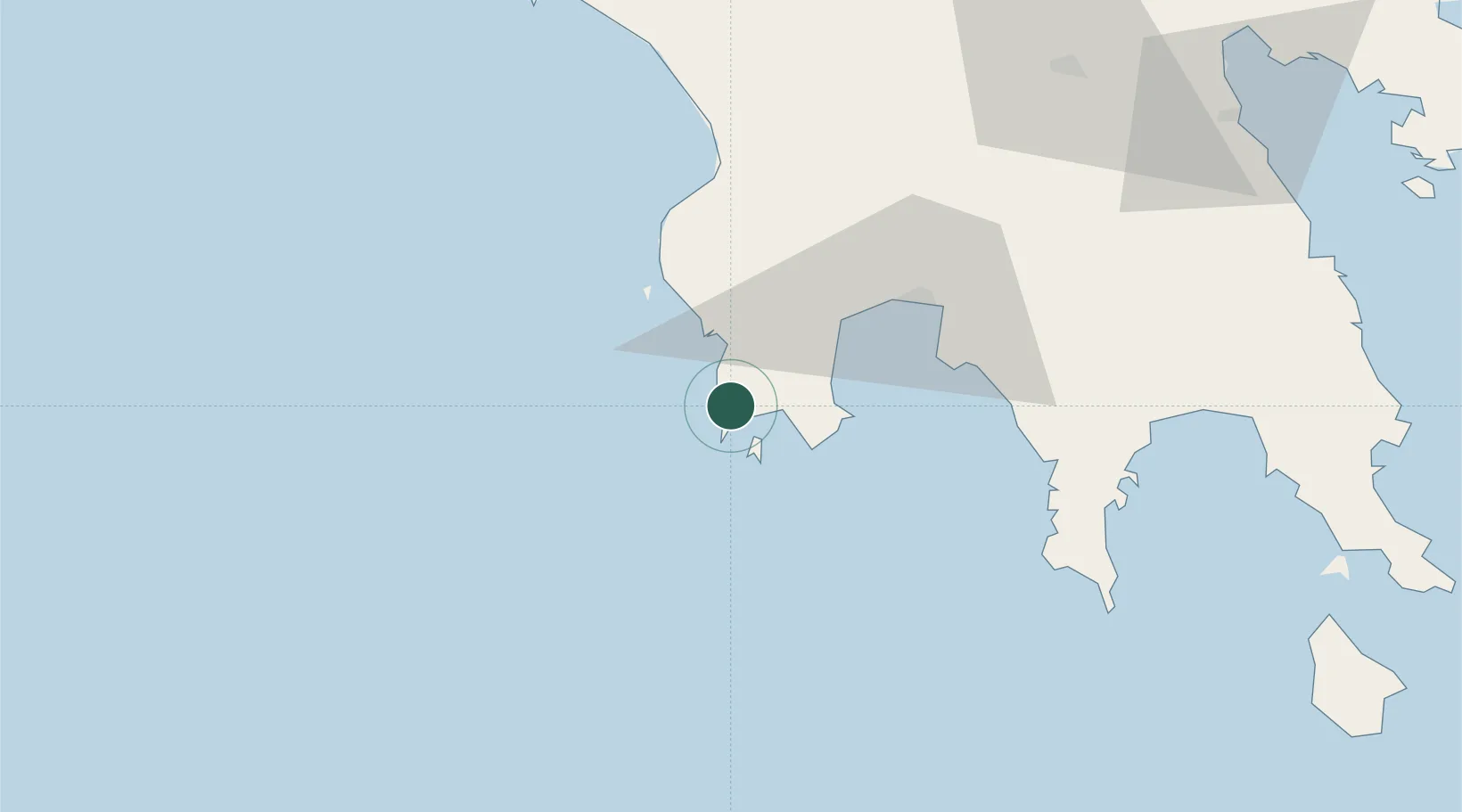
Nearby Logistics Neighbours

Cities
  1. 1Pýlos10 km
  2. 2Kalamáta43 km
  3. 3Kiparissia48 km
  4. 4Xirokámbion67 km
  5. 5Gythion76 km
Nearest neighbours — logibook spatial index (haversine) over the source coordinates
Ports
  1. 1Pilos10 km
  2. 2Kalamata42 km
  3. 3Yithion76 km
  4. 4Katakolon99 km
  5. 5Navplio127 km
Nearest neighbours — logibook spatial index (haversine) over the source coordinates
Airports
  1. 1Kalamata Airport39 km
  2. 2Zakynthos International Airport Dionysios Solomos127 km
  3. 3Andravida Air Base128 km
  4. 4Kithira Airport131 km
  5. 5Patras Araxos Agamemnon Airport151 km
Nearest neighbours — logibook spatial index (haversine) over the source coordinates
Trade Zones
  1. 1Free Zone of Platigiali (Astakos Etoloakarnanias)193 km
  2. 2Free Zone of Piraeus209 km
  3. 3Free Zone of Heraklion352 km
  4. 4Gjirokastër Freezone386 km
  5. 5Përmet Freezone399 km
Nearest neighbours — logibook spatial index (haversine) over the source coordinates
DatabookThe Record of Consolidated Knowledge
Greece beyond logistics?
Browse databook

All Sources

LocationsUN/LOCODE
UN/LOCODE — free
LocationsGeoNames
CC BY 4.0
Portsthe NGA World Port Index
Public domain (US gov)
AirportsOurAirports
Public domain
Trade Zonesthe World Bank SEZ database
CC BY 4.0
Trade ZonesOpen Zone Map
CC BY
← Greece locations