Transport Functions
Port
Hub Profile
Region
17
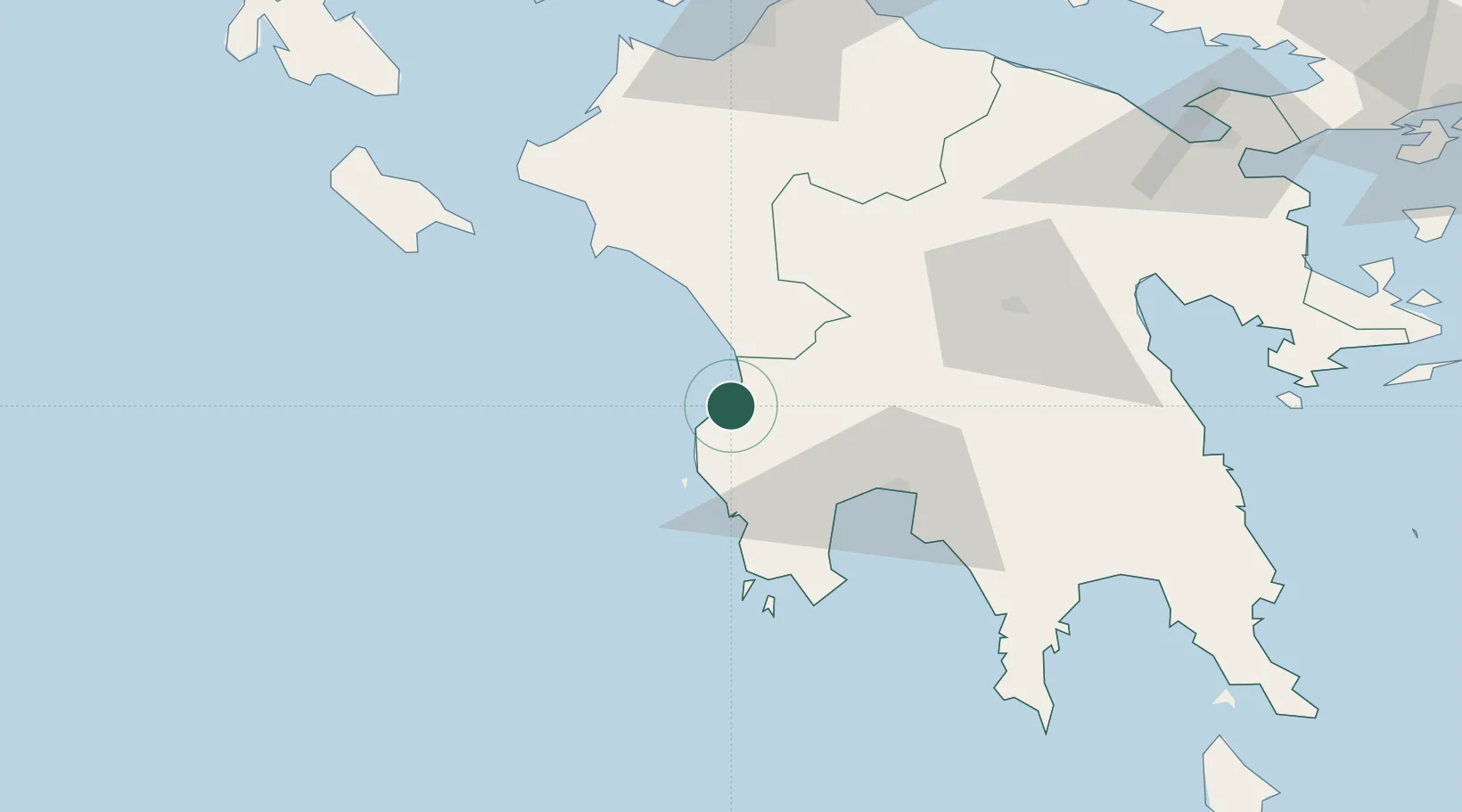
Location
Nearby Logistics Neighbours
Airports
Trade Zones
- 1Free Zone of Platigiali (Astakos Etoloakarnanias)145 km
- 2Free Zone of Piraeus188 km
- 3Gjirokastër Freezone339 km
- 4Përmet Freezone351 km
- 5Free Zone of Heraklion382 km
DatabookThe Record of Consolidated Knowledge
Greece beyond logistics?