Medium airport · Greece
Zakynthos International Airport Dionysios SolomosLGZA
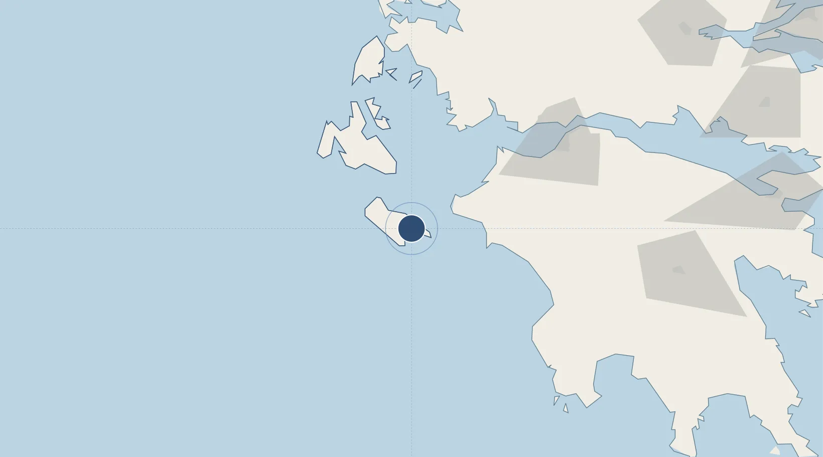
37.7509°, 20.8843°
7,310 ft
Longest runway
1
Runways
12 ft
Elevation
Runway & Layout

Radio Frequencies
TWR
125.425 MHz
A/G
563.7 MHz
RDO
Navaids
ZAK VOR-DME Zakinthos 110.80 MHz
ZAT NDB Zakinthos 326 kHz
Runways · 1
| Runway | Dimensions | Surface | True heading | Lit |
|---|---|---|---|---|
| 16/34 | 7,310 × 148ft | Asphalt | 163° | ✓ |
Airport Specifications
IATA code
ZTH
ICAO code
LGZA
Airport class
Medium airport
Scheduled service
Yes
Runway surface
Asphalt
Served city
Zakynthos
Location
Nearby Logistics Neighbours
Airports
- 1Andravida Air Base41 km
- 2Kefallinia Airport53 km
- 3Patras Araxos Agamemnon Airport65 km
- 4Kalamata Airport126 km
- 5Aktion National Airport131 km
Cities
- 1Zákynthos4 km
- 2Shinari Zakynthou23 km
- 3Killíni30 km
- 4Kyllíni31 km
- 5Katakolon40 km
Ports
- 1Katakolon40 km
- 2Argostolion58 km
- 3Mesolongion83 km
- 4Astakos84 km
- 5Patrai93 km
Trade Zones
- 1Free Zone of Platigiali (Astakos Etoloakarnanias)83 km
- 2Free Zone of Piraeus241 km
- 3Gjirokastër Freezone265 km
- 4Përmet Freezone281 km
- 5Korçë Freezone321 km
DatabookThe Record of Consolidated Knowledge
Greece beyond logistics?